Enable Location

We need your location to show you interesting places around you

Discover nearby places

Find interesting locations and hidden gems around you

Precise directions

Get accurate directions and distances to places

Your location is never shared with other users. It's only used when you tap the location button.

Souther Fell

Log in to your account

Start exploring — it's free

Trusted by 62,871 travelers worldwide

Continue with Google
Continue with Apple
or

We will send you a code to connect

By continuing, you accept our Terms and Conditions and our Privacy Policy

Check your inbox

We've sent a pincode in your inbox. Please enter the code below.

Souther Fell

Souther Fell, Mountain summit in Lake District, England

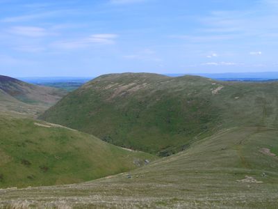
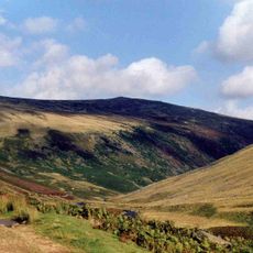
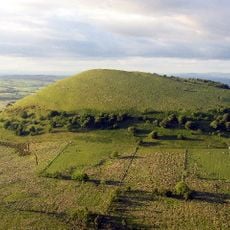
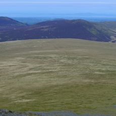
Souther Fell is a mountain summit in the Lake District that rises to 522 meters above sea level. The top features a wide grassy ridge that runs across the northern section of the national park, making it a recognizable landmark in the landscape.

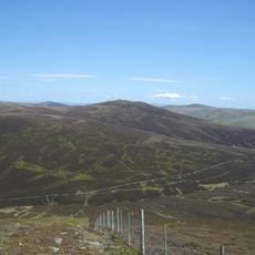
The mountain is classified as a Birkett Hill, a category for subsidiary peaks, and sits near Blencathra. Its geological formation dates back thousands of years, reflecting the ancient processes that shaped the Lake District landscape.

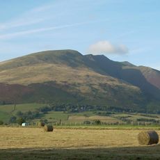
Local residents and visitors frequent the paths of Souther Fell throughout the year, participating in traditional fell walking and nature observation activities.

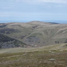
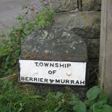
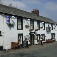
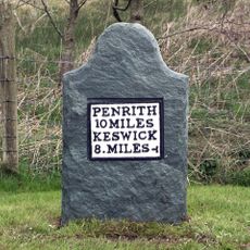
You can reach the summit by multiple routes, with a popular path starting from The White Horse Inn at Scales that offers convenient parking. The grassy ridge is most manageable during dry weather, as wet conditions can make the slopes slippery and less stable underfoot.

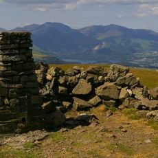
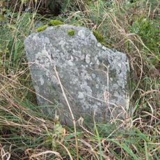
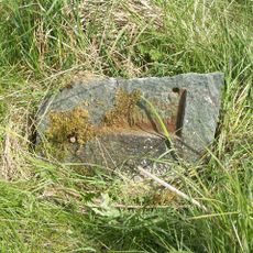
The summit lacks a traditional cairn or clear marker, consisting only of a bare rock surface. Visitors need to look carefully to spot the highest point among the scattered stones and grass.

The community of curious travelers

AroundUs brings together thousands of curated places, local tips, and hidden gems, enriched daily by 60,000 contributors worldwide.

Start exploring
Elevation above the sea
522 m
GPS coordinates
54.65325,-3.00171
Latest update
December 14, 2025 11:24
« Souther Fell - Mountain summit in Lake District, England » is provided by Around Us (aroundus.com). Images and texts are derived from Wikimedia project under a Creative Commons license. You are allowed to copy, distribute, and modify copies of this page, under the conditions set by the license, as long as this note is clearly visible.

Discover hidden gems everywhere you go!

From secret cafés to breathtaking viewpoints, skip the crowded tourist spots and find places that match your style. Our app makes it easy with voice search, smart filtering, route optimization, and insider tips from travelers worldwide. Download now for the complete mobile experience.

Around Us App Screenshot

A unique approach to discovering new places

Le Figaro

All the places worth exploring

France Info

A tailor-made excursion in just a few clicks

20 Minutes

Around Us
Travel Guide & Maps
Download

Send to your phone

QR Code
1

Open the camera app on your mobile.

2

Point at the QR code with your camera. A notification will appear.

3

Tap the notification to open the link.