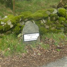
Bannerdale Crags, Fell in Northern Lake District, Cumbria, England.
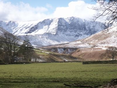
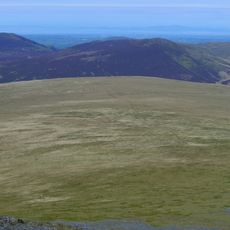
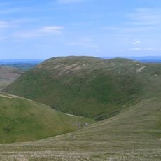
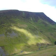
Bannerdale Crags is a fell in the northern Lake District, distinguished by its sharp northeastern cliffs that drop steeply into the valley below. The mountain reaches 683 meters at its summit and features two distinct ridges on its northern descent.
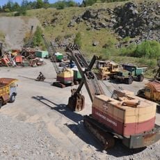
Lead and zinc mining took place here in the late 1800s, with operations focused on extracting ore from the Bannerdale Mine. This industrial activity has since ceased, leaving the mountain to its natural state today.
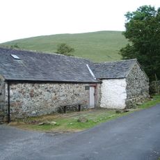
The summit reflects traditional shepherd life, where local herders built stone shelters near the cairn as working bases. These simple structures show how people lived and worked in these mountains for centuries.
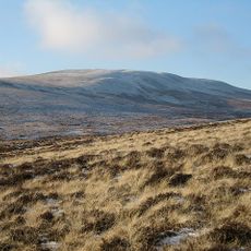
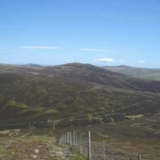
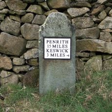
The route starts from Mungrisdale village and follows the Glenderamackin River along the eastern approach. Weather conditions matter here, as steep sections and exposed ridges require careful footing and can be challenging in wet or windy circumstances.
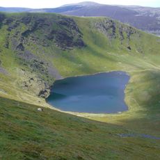
Two distinct water sources originate on opposite slopes of the mountain and flow into different river systems. Blackhazel Beck flows northwest toward the River Caldew, while the Glenderamackin rises on the opposite side.
Location: Cumbria
Elevation above the sea: 683 m
GPS coordinates: 54.65169,-3.03217
Latest update: December 14, 2025 11:20
Blencathra
3.2 km
Carrock Fell
5 km
Threlkeld Quarry and Mining Museum Railway
4.6 km
Bowscale Fell
1.6 km
Mungrisdale Common
2.3 km
Souther Fell
2 km
Knott
5.6 km
Lonscale Fell
5.3 km
Great Calva
4.9 km
Mosedale Viaduct
3.7 km
Church of St Mary
3.9 km
Church of St Kentigern, Mungrisdale
3.2 km
Boundary Stone
5.2 km
Boundary Stone At West End Of Low Mill Bridge
4.6 km
Boundary Stone South Of Low Mill
4.7 km
Milestone At Ny 354 267
3 km
Boundary Stone At East End Of Low Mill Bridge
4.7 km
Boundary Stone South Of Moss Dyke
4 km
Horse and Farrier Inn and adjoining house
3.8 km
Boundary Stone West Of Entrance To Low Mill Farmhouse
4.7 km
Threlkeld Quarry And Mining Museum
4.8 km
Friends' Meeting House And Adjoining Stables
3.9 km
Milestone, Shundraw T jct
5.9 km
Milestone, Entrance to Lisco Farm
3.8 km
Milestone, Gate Crag, Scales
2.3 km
Milestone, Wood End, E end of village
3.2 km
Milestone, West Threlkeld, A66 jct W road to village
4.5 km
Milestone, Right entrance to Far Howe
5.3 kmVisited this place? Tap the stars to rate it and share your experience / photos with the community! Try now! You can cancel it anytime.
Discover hidden gems everywhere you go!
From secret cafés to breathtaking viewpoints, skip the crowded tourist spots and find places that match your style. Our app makes it easy with voice search, smart filtering, route optimization, and insider tips from travelers worldwide. Download now for the complete mobile experience.
A unique approach to discovering new places❞
— Le Figaro
All the places worth exploring❞
— France Info
A tailor-made excursion in just a few clicks❞
— 20 Minutes