Mungrisdale Common, Mountain summit in Lake District, England
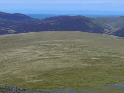
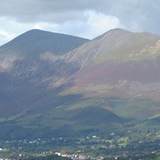
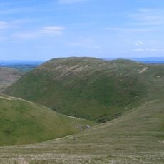
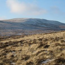
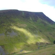
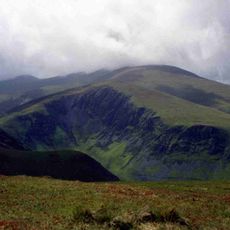
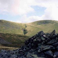
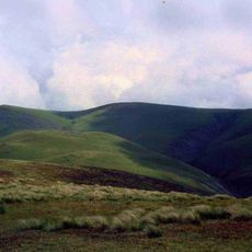
Mungrisdale Common is a mountain summit in the Lake District rising to 633 meters, marked by rolling grassland that covers its slopes. A small cairn sits at the peak, serving as the focal point of this rounded fell.
The mountain appeared in Alfred Wainwright's 1962 Pictorial Guide to the Lakeland Fells, though the respected author expressed little enthusiasm for the peak. Its inclusion in this influential guide established it as part of the recognized fell-walking circuit.
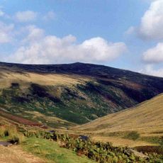
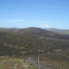
The summit connects to multiple walking paths across the Northern Fells, forming part of the traditional Lake District hiking network.
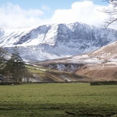
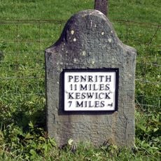
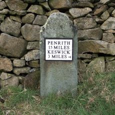
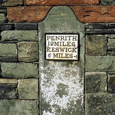
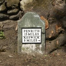
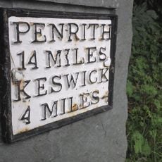
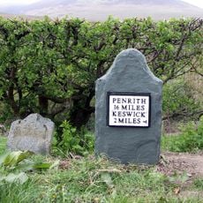
The approach is easiest via Glenderaterra valley, accessible from nearby Keswick or Threlkeld at the mountain's base. Conditions for walking are most favorable from May to September, when weather is more stable and paths are in better condition.
The summit sits on a major watershed that splits water flow in different directions across the region. Water falling on southern slopes eventually reaches Workington, while northern slopes drain toward the Solway Firth via Carlisle.
The community of curious travelers
AroundUs brings together thousands of curated places, local tips, and hidden gems, enriched daily by 60,000 contributors worldwide.