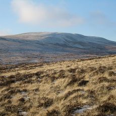
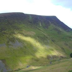
Bowscale Fell, Mountain summit in Cumbria, England
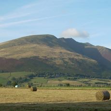
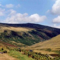
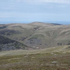
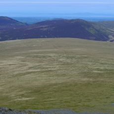
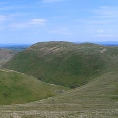
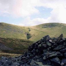
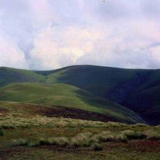
Bowscale Fell is a 702 meter high summit in the Lake District Fells with two long ridges running from Mungrisdale up to the peak. The open moorland and grassy slopes create a varied landscape with changing views as you climb higher.
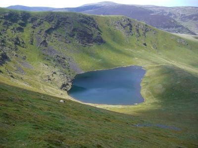
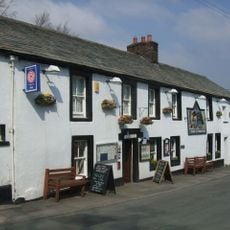
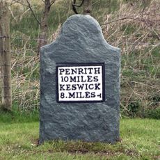
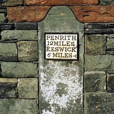
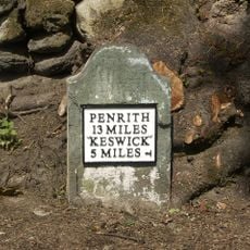
The fell attracted Victorian-era tourists who rode ponies to reach the mountain tarns on the northern face. This early tourism established it as a destination for visitors exploring the wider Lake District region.
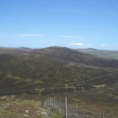
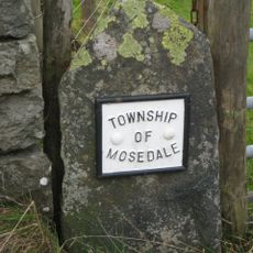
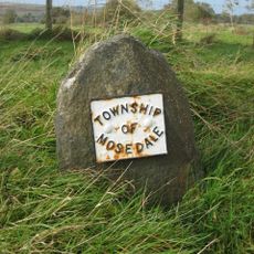
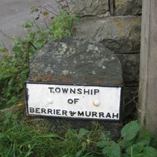
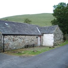
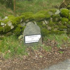
The mountain belongs to the Lake District National Park, where local communities maintain strong connections to hiking and outdoor pursuits.
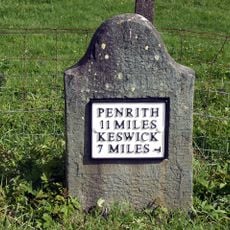
Several walking routes start from Mungrisdale village with varying difficulty levels from gentle paths to steeper climbs. Visitors should choose a route that matches their fitness level and check weather conditions before heading out.
A mountain tarn below the northern slopes features in local folklore tales about two fish that could speak. This story has given the place a curious spot in the region's traditional stories and local imagination.
Location: Cumbria
Elevation above the sea: 702 m
GPS coordinates: 54.66554,-3.03506
Latest update: December 12, 2025 14:22
Blencathra
4.3 km
Carrock Fell
3.5 km
Threlkeld Quarry and Mining Museum Railway
6.1 km
High Pike
4.7 km
Mungrisdale Common
2.5 km
Souther Fell
2.5 km
Bannerdale Crags
1.6 km
Knott
4.4 km
Lonscale Fell
5.9 km
Great Calva
4.3 km
Mosedale Viaduct
5.2 km
Great Sca Fell
5.4 km
Meal Fell
6 km
Church of St Mary
5.3 km
Church of St Kentigern, Mungrisdale
3 km
Boundary Stone At West End Of Low Mill Bridge
3.8 km
Boundary Stone
4.1 km
Boundary Stone South Of Low Mill
3.9 km
Boundary Stone South Of Moss Dyke
3.6 km
Boundary Stone At East End Of Low Mill Bridge
3.8 km
Horse and Farrier Inn and adjoining house
5.3 km
Friends' Meeting House And Adjoining Stables
2.9 km
Milestone At Ny 354 267
4.4 km
Boundary Stone West Of Entrance To Low Mill Farmhouse
3.9 km
Milestone, Entrance to Lisco Farm
4.8 km
Milestone, Gate Crag, Scales
3.9 km
Milestone, Wood End, E end of village
4.6 km
Milestone, West Threlkeld, A66 jct W road to village
5.9 kmVisited this place? Tap the stars to rate it and share your experience / photos with the community! Try now! You can cancel it anytime.
Discover hidden gems everywhere you go!
From secret cafés to breathtaking viewpoints, skip the crowded tourist spots and find places that match your style. Our app makes it easy with voice search, smart filtering, route optimization, and insider tips from travelers worldwide. Download now for the complete mobile experience.
A unique approach to discovering new places❞
— Le Figaro
All the places worth exploring❞
— France Info
A tailor-made excursion in just a few clicks❞
— 20 Minutes