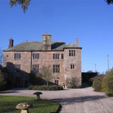
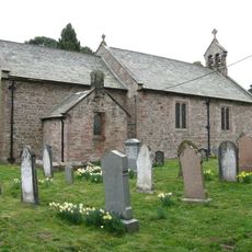
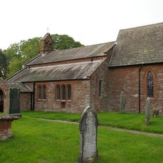
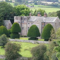
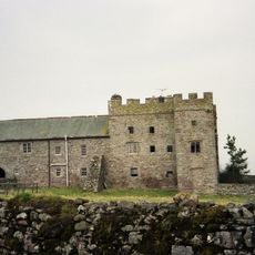
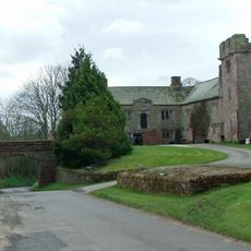
Greystoke Castle, Quadrangular castle in Greystoke, England
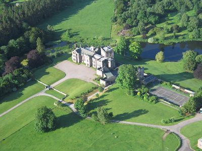
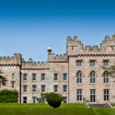
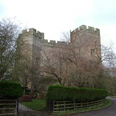
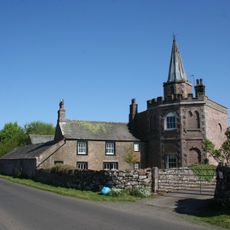
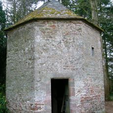
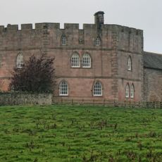
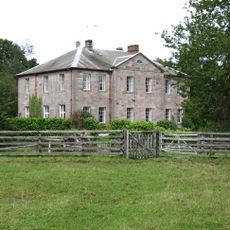
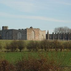
Greystoke Castle is a fortified stone building with a central pele tower and residential ranges set within extensive grounds in northern Cumbria. The structure follows a quadrangular layout with thick defensive walls that also accommodated comfortable living spaces.
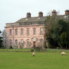
The castle was founded in 1129 and underwent major rebuilding in the late 1700s and again in the mid-1800s. These reconstruction phases reflected changing needs and fashions as the building evolved from a defensive stronghold to a country house.
The castle has long served as a country seat for English nobility, reflecting how the wealthiest families lived and governed their estates. Walking through its spaces gives you a sense of the grand domestic life that centered around such properties for generations.
The castle today primarily functions as a venue for corporate events, outdoor training activities, and wedding ceremonies. Access can be restricted depending on scheduled functions, so advance planning is advisable for visitors interested in exploring the grounds.
During World War II the castle served as a training base for tank crews and subsequently as a prisoner of war camp. This military period left marks on the property that visitors can still detect in the buildings and grounds.
The community of curious travelers
AroundUs brings together thousands of curated places, local tips, and hidden gems, enriched daily by 60,000 contributors worldwide.