Sour Howes, Mountain peak in Lake District, England
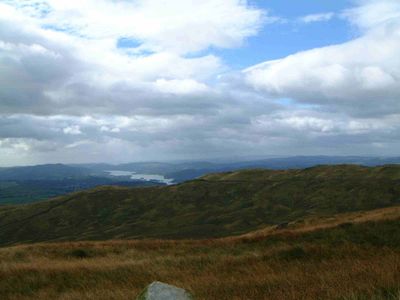
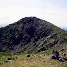
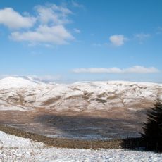
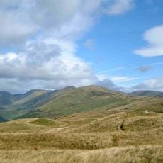
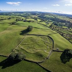
Sour Howes is a fell in the Lake District located between the Troutbeck and Kentmere valleys, reaching about 480 meters in height. Its slopes are covered with grass and heather, particularly on the eastern side where the terrain is more open.
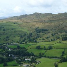
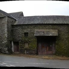
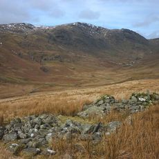
Centuries of sheep farming and agricultural work shaped the fell, leaving behind dry stone walls that cross the summit. This traditional land use defined the character of the entire region over time.
The mountain is part of Applethwaite Common, where shepherds have worked the land for generations and shaped the surrounding landscape through their daily practices. This traditional use remains visible as you move across the fell.
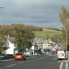
You can reach this fell from either Troutbeck or Kentmere valley depending on your starting point. Weather changes quickly in the mountains, so bring layers and waterproof gear.
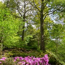
The western slope holds a disused quarry called Applethwaite Quarry, which has become a wooded area with striking rock formations. This hidden feature shows how nature reclaims abandoned sites.
The community of curious travelers
AroundUs brings together thousands of curated places, local tips, and hidden gems, enriched daily by 60,000 contributors worldwide.