Loch Shiel

Log in to your account

AroundUs is a community-driven map of interesting places, built by curious explorers like you. It grows with every review, story, and photo you share.
Connect to save your favorite spots, contribute locations, and create personalized routes.
By continuing, you accept our Terms and Conditions and our Privacy Policy
Add to collection
Map
Suggest a change
Share

Loch Shiel, Freshwater lake in Highland, Scotland
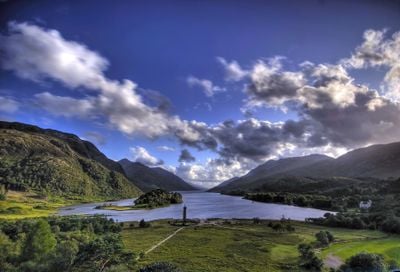
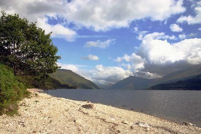
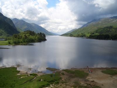
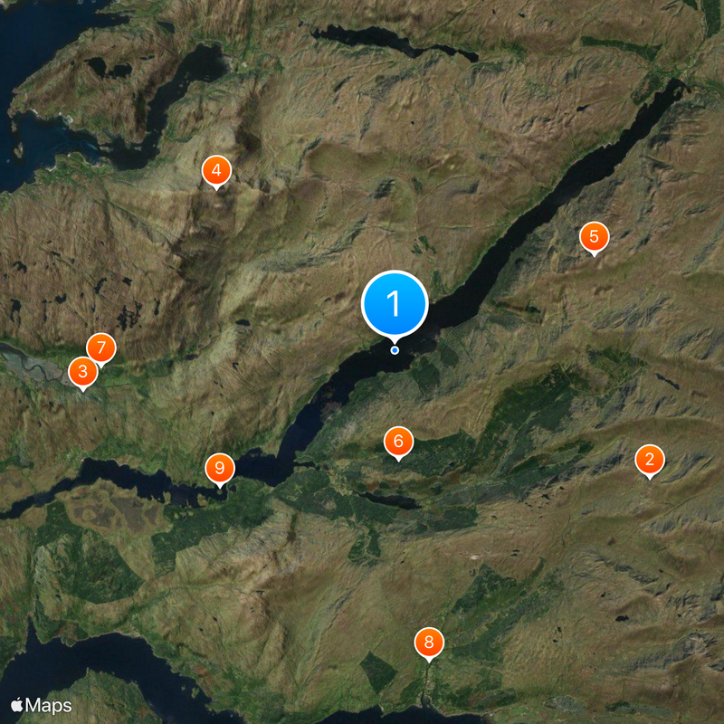
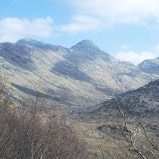
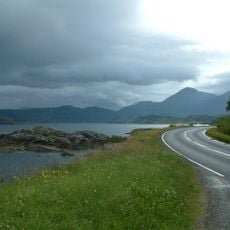
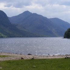
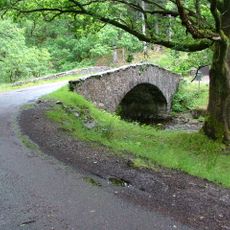
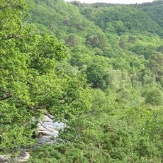
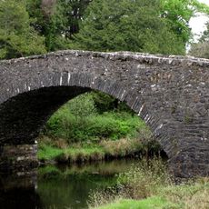
Loch Shiel extends 28 kilometers through the northwest Highlands, reaching depths of 120 meters with mountains rising along its northern section.

The Glenfinnan Monument at the head of Loch Shiel marks where Charles Edward raised his standard in 1745, starting the Jacobite rebellion.

St. Finnan's Isle within Loch Shiel contains a medieval chapel that serves as the traditional burial ground for the Clan Ranald Macdonald.

Visitors can access multiple fishing spots around Loch Shiel, where salmon, sea trout, and brown trout populations thrive in the waters.

The lake and its surroundings form a Special Protection Area, providing essential habitat for black-throated divers and golden eagles.

Location: Highland

Location: Kilmallie

Location: Ardnamurchan

Elevation above the sea: 4.5 m

GPS coordinates: 56.79111,-5.58704

Latest update: December 1, 2025 13:05

Scottish Highlands: Hidden places, isolated mountains and remote villages

The Scottish Highlands span thousands of square miles in northern Scotland, offering striking landscapes of mountains, jagged coastlines, and remote lakes. This region retains villages that only recently gained road access, such as Rhenigidale on Harris Island, connected to the rest of the island in 1989. The Knoydart Peninsula remains accessible only by boat or on foot and has about a hundred residents. Notable sites include the Torridon hills, formed of red sandstone and rising roughly 1,000 meters (3,280 feet), the Bealach na Bà road which climbs to 626 meters (2,054 feet) with slopes up to 20 percent, and Sandwood Bay, a sandy beach reachable after several miles of walking. The Speyside Way stretches 85 miles (137 km) along the River Spey, passing through forests and moorlands near whisky distilleries. On the Isle of Skye, the Storr features needle-shaped rock formations, while Coire Lagan forms a glacial cirque carved into the rock. These sites highlight the region’s geological history and the ways of life that have persisted despite isolation.

Reviews

Visited this place? Tap the stars to rate it and share your experience / photos with the community! Try now! You can cancel it anytime.

« Loch Shiel: Freshwater lake in Highland, Scotland » is provided by Around Us (aroundus.com). Images and texts are derived from Wikimedia project under a Creative Commons license. You are allowed to copy, distribute, and modify copies of this page, under the conditions set by the license, as long as this note is clearly visible.

Discover hidden gems everywhere you go!

From secret cafés to breathtaking viewpoints, skip the crowded tourist spots and find places that match your style. Our app makes it easy with voice search, smart filtering, route optimization, and insider tips from travelers worldwide. Download now for the complete mobile experience.

Around Us App Screenshot

A unique approach to discovering new places

Le Figaro

All the places worth exploring

France Info

A tailor-made excursion in just a few clicks

20 Minutes