
Grimston, village and civil parish in Norfolk, UK
Location: King's Lynn and West Norfolk
GPS coordinates: 52.77195,0.54993
Latest update: March 4, 2025 21:14
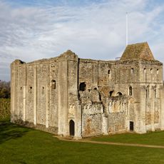
Castle Rising Castle
5.9 km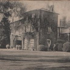
Gayton Hall
3.6 km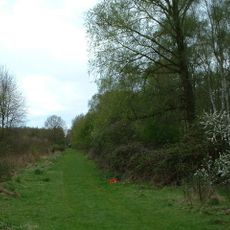
Roydon Common
3.3 km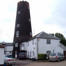
Gayton Windmill
3.3 km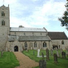
St Nicholas' Church
3.3 km
Ruins of castle and eleventh century church
5.9 km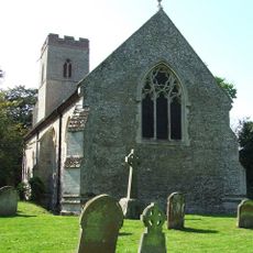
Church of St Andrew, Congham
1.5 km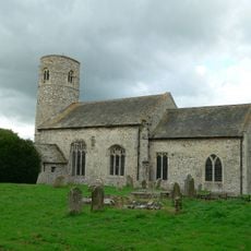
Church of St Mary
4.6 km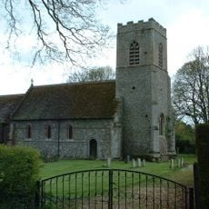
Church of All Saints
2.5 km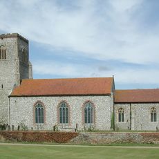
Church of St Mary
2.8 km
Church of All Saints
4.2 km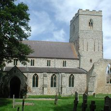
Church of St Mary
4.2 km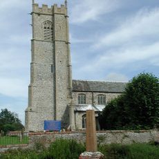
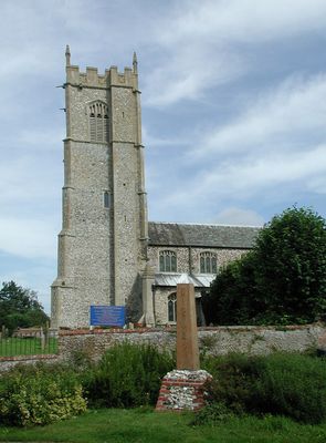
Church of St Botolph
530 m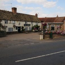
The Crown Inn
3.2 km
Flitcham War Memorial
4.3 km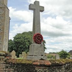
Hillington War Memorial
2.8 km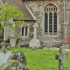
Ashwicken, Bawsey and Leziate War Memorial
4.2 km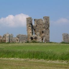
St James' church
6.1 km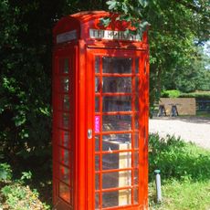
K6 Telephone Kiosk At Tf 6663 2475
6 km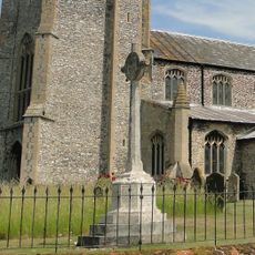
Grimston War Memorial
564 m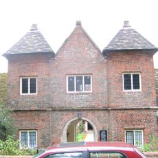
Trinity Hospital (hospital Of The Holy And Undivided Trinity) And Attached Enclosing Walls, Circa 30 Metres East Of Church Of St
5.9 km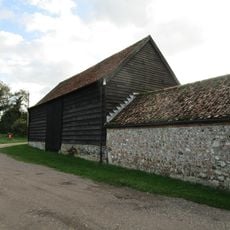
Barn At Gatehouse Farm Circa 50 Metres West Of Church Of St Mary
4.5 km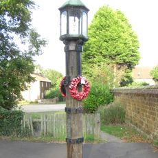
Lamp Post At Tf 6666 2473 Circa 20 Metres North Of Barn At Castle Farm
5.9 km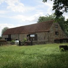
Barns At Castle Farm Circa 150 Metres South Of Church Of St Laurence
5.9 km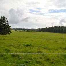
Appleton medieval and early post-medieval settlement
4.8 km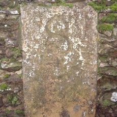
Milestone, boundary wall of Hillington Park
3.6 km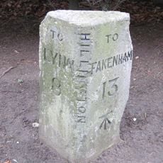
Milestone, by "The Beeches"
3.5 km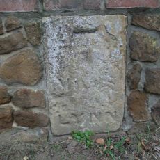
Milestone, Outside 8 Fakenham Rd
3.1 kmVisited this place? Tap the stars to rate it and share your experience / photos with the community! Try now! You can cancel it anytime.
Discover hidden gems everywhere you go!
From secret cafés to breathtaking viewpoints, skip the crowded tourist spots and find places that match your style. Our app makes it easy with voice search, smart filtering, route optimization, and insider tips from travelers worldwide. Download now for the complete mobile experience.

A unique approach to discovering new places❞
— Le Figaro
All the places worth exploring❞
— France Info
A tailor-made excursion in just a few clicks❞
— 20 Minutes