
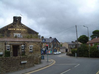
Thurgoland, village in the United Kingdom
Location: Barnsley
Website: http://thurgoland.org.uk/
GPS coordinates: 53.50540,-1.56350
Latest update: March 2, 2025 20:07

Wentworth Castle
3.6 km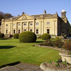
Wortley Hall
2.7 km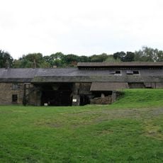
Wortley Top Forge
1.3 km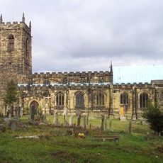
Church of All Saints, Silkstone
4.8 km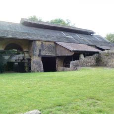
Wortley Top Forge
1.2 km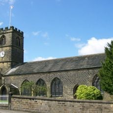
Church of St Leonard
2.4 km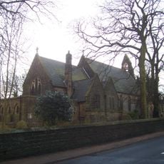
Holy Trinity Church
189 m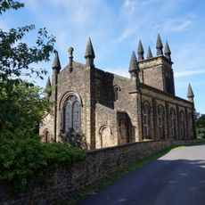
Church of St John
4.5 km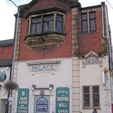
Palace Cinema
3.4 km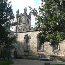
Church of St James
3.7 km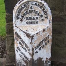
Milepost Approximately 20 Metres East Of Junction With Park Drive
3.4 km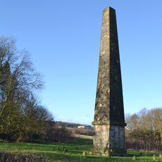
Queen Annes Obelisk
4.5 km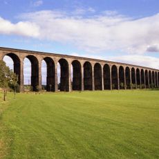
Penistone Railway Viaduct on Penistone and Denby Dale Line
4.8 km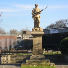
Dodworth War Memorial
4.8 km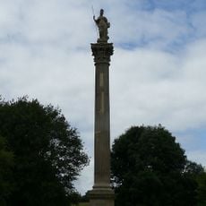
Duke Of Argyll's Monument
3.5 km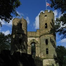
Stainborough Castle
3.2 km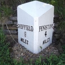
Milepost At Mill Moor Plantation
1.3 km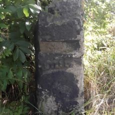
Milestone Approximately 200 Metres East Of Roundabout At Junction With A629 At Se 259043
4.5 km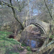
Willow Bridge, Barnsley
2.8 km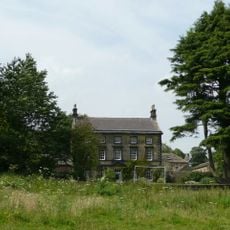
Huthwaite Hall
909 m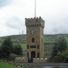
Stocksbridge Clock Tower
3.1 km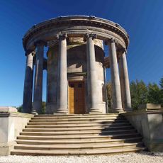
Rotunda Temple
4.1 km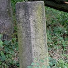
Guide Post At Junction With Dyson Cote Lane
3.3 km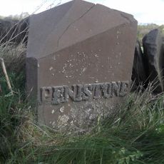
Milepost Approximately 350 Metres West Of Thurgoland Bridge
1.4 km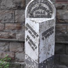
Milepost Opposite Number 220 Approximately 200 Metres North West Of Junction With Haywood Lane
3 km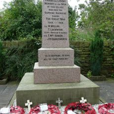
Hoylandswaine War Memorial
4.6 km
Conservatory And Linking Bridge At North West Corner Of Wentworth Castle
3.6 km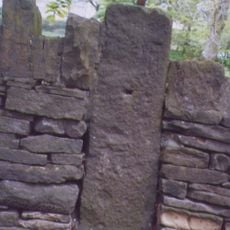
Milestone, Halifax Road, opp. Church
176 mVisited this place? Tap the stars to rate it and share your experience / photos with the community! Try now! You can cancel it anytime.
Discover hidden gems everywhere you go!
From secret cafés to breathtaking viewpoints, skip the crowded tourist spots and find places that match your style. Our app makes it easy with voice search, smart filtering, route optimization, and insider tips from travelers worldwide. Download now for the complete mobile experience.

A unique approach to discovering new places❞
— Le Figaro
All the places worth exploring❞
— France Info
A tailor-made excursion in just a few clicks❞
— 20 Minutes