Chest opened
+${chestReward.xp} XP
Explorer
NOUVEAU ×${chestReward.collectible.quantity}
tapez pour fermer
Chest locked

Open chests in the app

Around Us is built for your phone — chests unlock when you walk, explore and capture nearby places.

Enable Location

We need your location to show you interesting places around you

Discover nearby places

Find interesting locations and hidden gems around you

Precise directions

Get accurate directions and distances to places

Your location is never shared with other users. It's only used when you tap the location button.

Shoreham

Log in to your account

Start exploring — it's free

Trusted by 72,879 travelers worldwide

Continue with Google
Continue with Apple
or

We will send you a code to connect

By continuing, you accept our Terms and Conditions and our Privacy Policy

Check your inbox

We've sent a pincode in your inbox. Please enter the code below.

Discussion Reviews 1 Photos
19.1k Popularity

Shoreham, village and civil parish in Kent, England, UK

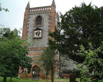
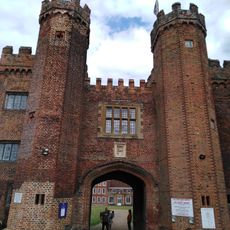
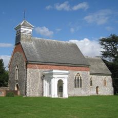
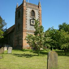
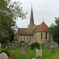
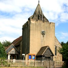
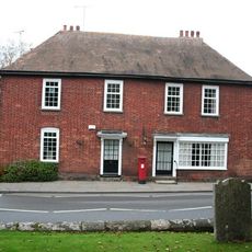
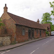
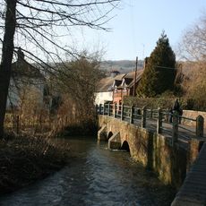
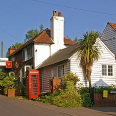
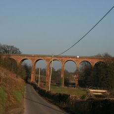
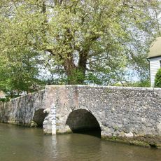
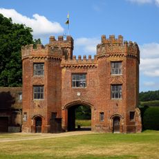
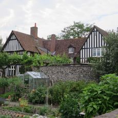
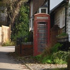
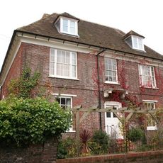
Shoreham is a small civil parish and village in the Sevenoaks district of Kent, England, situated beside the river Darent. The village has simple brick houses along quiet lanes and is surrounded by the North Downs hills.

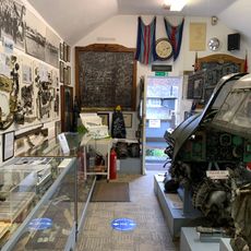
The village was settled during the Stone Age, as shown by ancient tools and bones, but was not recorded in the Domesday Book of the 11th century. During the Second World War, it became the most bombed rural parish in Britain, earning the BBC nickname 'Bomb Alley'.

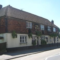
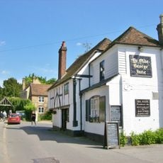
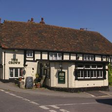
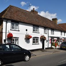
The name Shoreham comes from the Saxon word 'scor' meaning steep slope, reflecting the hilly landscape around the village. The three traditional pubs - The Samuel Palmer, The King's Arms, and The Crown - serve as gathering places where locals and visitors meet and share conversation.

The village is accessible by train and buses that connect Shoreham to Sevenoaks, Swanley, and London. The best time to visit is during the annual duck race on the river Darent or local history society events held throughout the year.

During the Second World War, a damaged German fighter plane crashed in fields near the village, and its crew was brought to a local pub before being taken away. This unusual event shows how Shoreham became caught up in the larger events of the war.

The community of curious travelers

AroundUs brings together thousands of curated places, local tips, and hidden gems, enriched daily by 60,000 contributors worldwide.

Start exploring
Location
GPS coordinates
51.33242,0.17329
Latest update
February 16, 2026 23:00
Reviews
Share your experience

No review yet

Discussions
Start a discussion...

No discussion yet

« Shoreham - village and civil parish in Kent, England, UK » is provided by Around Us (aroundus.com). Images and texts are derived from Wikimedia project under a Creative Commons license. You are allowed to copy, distribute, and modify copies of this page, under the conditions set by the license, as long as this note is clearly visible.

Discover hidden gems everywhere you go!

From secret cafés to breathtaking viewpoints, skip the crowded tourist spots and find places that match your style. Our app makes it easy with voice search, smart filtering, route optimization, and insider tips from travelers worldwide. Download now for the complete mobile experience.

Around Us App Screenshot

A unique approach to discovering new places

Le Figaro

All the places worth exploring

France Info

A tailor-made excursion in just a few clicks

20 Minutes

Around Us
Travel Guide & Maps
Download

Send to your phone

QR Code
1

Open the camera app on your mobile.

2

Point at the QR code with your camera. A notification will appear.

3

Tap the notification to open the link.