
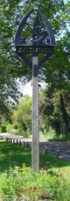
Rattlesden, village in the United Kingdom
Location: Mid Suffolk
Elevation above the sea: 68 m
GPS coordinates: 52.19400,0.89500
Latest update: March 5, 2025 20:59
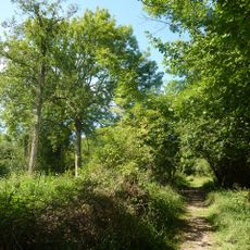
Bradfield Woods
5.1 km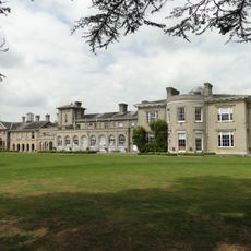
Finborough Hall
3.7 km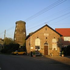
Buxhall Windmill
2.1 km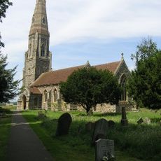
St Andrew’s Church, Great Finborough
3.6 km
Thorpe Morieux Woods
5.3 km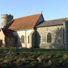
Church of St John the Baptist
3.7 km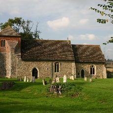
Church of St Mary
2.9 km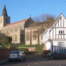
Church of St Nicholas
160 m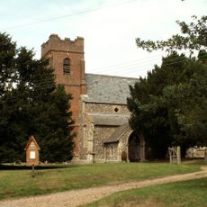
Church of All Saints
3.3 km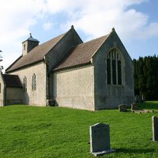
Church of King Charles the Martyr
2.7 km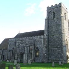
Church of St Peter
3.9 km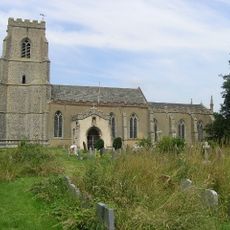
Church of St Mary
2.7 km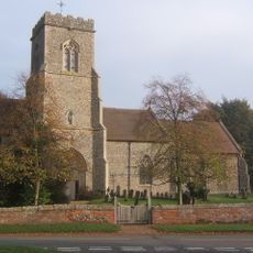
Church of St Mary the Virgin, Brettenham
5 km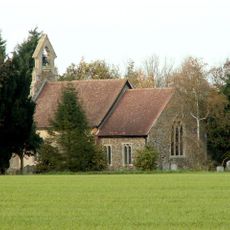
Church of St Mary
5.6 km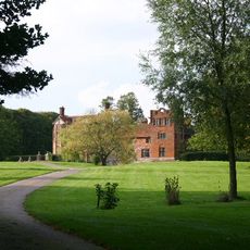
Gedding Hall
2.6 km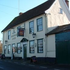
The Brewers Arms Public House
169 m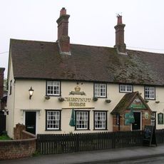
The Chestnut Horse Public House
3.6 km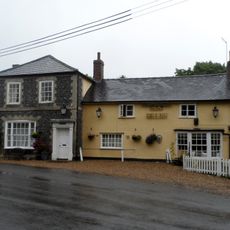
The Six Bells Public House
3.8 km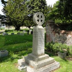
Great Finborough War Memorial Cross
3.6 km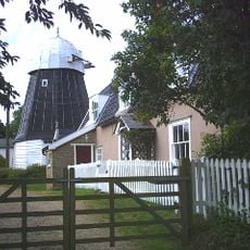
Drinkstone Smock Mill
3.4 km
Drinkstone Post Mill
3.5 km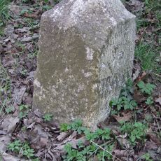
Milestone 5 Metres North West Of Lodge Cottage
2.6 km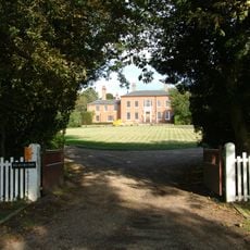
The Old Rectory
3.4 km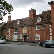
The Swan Inn (Part)
3.4 km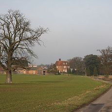
Fasbourne Hall With Attached Garden Wall At The Eastern Corner
2.9 km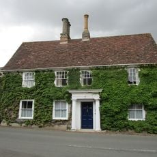
Premises Occupied By Dr Dean
3.4 km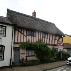
Pepys House
3.4 km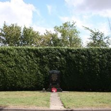
447th Bombardment Group USAAF Memorial, Rattlesden
2.2 kmVisited this place? Tap the stars to rate it and share your experience / photos with the community! Try now! You can cancel it anytime.
Discover hidden gems everywhere you go!
From secret cafés to breathtaking viewpoints, skip the crowded tourist spots and find places that match your style. Our app makes it easy with voice search, smart filtering, route optimization, and insider tips from travelers worldwide. Download now for the complete mobile experience.

A unique approach to discovering new places❞
— Le Figaro
All the places worth exploring❞
— France Info
A tailor-made excursion in just a few clicks❞
— 20 Minutes