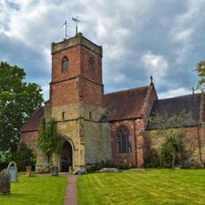
Stourport-on-Severn, town and civil parish in the Wyre Forest District of Worcestershire, England
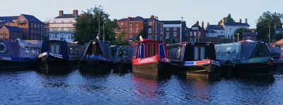
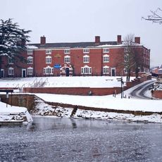
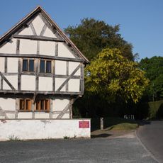
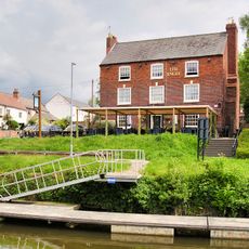
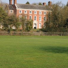
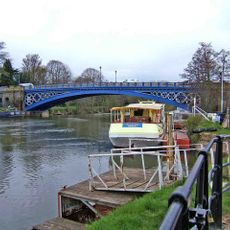
Stourport-on-Severn is a small town on the River Severn in Worcestershire that grew around a historic port and canal system. It contains old stone basins with about 100 moored boats, Georgian buildings in the center, riverside meadows with open green spaces, and a busy shopping street with shops, cafes, and pubs.
The town was founded when the Staffordshire and Worcestershire Canal was completed in 1771, which quickly made Stourport an important trading hub. The port flourished as a goods transfer point until transport priorities later shifted away from water, and the town became a regional market center with local commerce.
The name Stourport refers to the town's position on the Severn and its historic port role. Today this connection shows in daily life: families walk by the river, people sit by the water watching boats, and the community gathers for events centered around the waterways.
The town is compact and easy to navigate on foot or by bicycle, with signs pointing to main attractions. There is parking by the river, boat rental available during summer months, and a range of accommodation options including hotels, guesthouses, and bed and breakfasts.
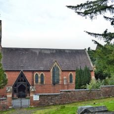
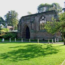
The town is twinned with Villeneuve-le-Roi in France, fostering regular visits and cultural exchange programs. Nearby are the ruins of Witley Court with its historic gardens and the Worcestershire County Museum, revealing additional layers of regional history.
The community of curious travelers
AroundUs brings together thousands of curated places, local tips, and hidden gems, enriched daily by 60,000 contributors worldwide.