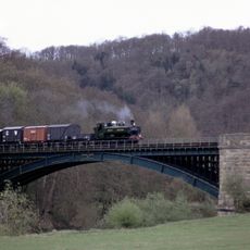
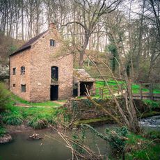
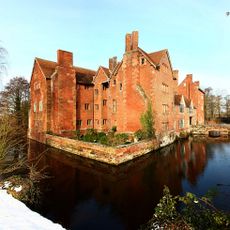
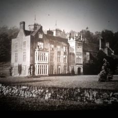
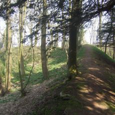
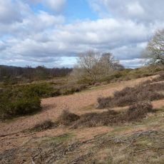
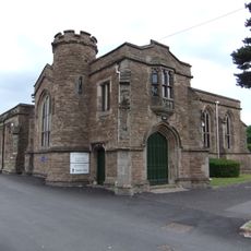
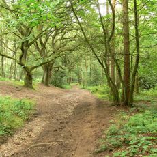
Wyre Forest, local government district in Worcestershire, England
Website: http://wyreforestdc.gov.uk
GPS coordinates: 52.38506,-2.23480
Latest update: March 11, 2025 12:15
West Midland Safari Park
3.8 km
Severn Valley Railway
344 m
Knowles Mill
7.9 km
Harvington Hall
4.1 km
Aggborough
739 m
Hartlebury Castle
5.1 km
Ribbesford House
6 km
Kinlet Hall
14.1 km
Bewdley Bridge
5.5 km
The Engine House
11.4 km
St Mary and All Saints' Church, Kidderminster
1.2 km
Wychbury Ring
9.4 km
Hartlebury Common
5.6 km
Kidderminster Register Office
1.6 km
Kingsford Country Park
5.9 km
Caldwall Castle
1.1 km
Arley House and Gardens
8.7 km
St. John's Church, Kidderminster
1.8 km
Kidderminster Town Hall
972 m
Church of All Saints, Wilden
4.5 km
Tontine Buildings
6.2 km
The Shrubbery
677 m
St George's Church, Kidderminster
784 m
Churchill Forge Mill
5.3 km
Badge Court
9.2 km
The Engine House Visitor & Education Centre
11.2 km
Church of Saint Peter and Saint Paul
12.1 km
Bewdley Town Hall
5.6 kmVisited this place? Tap the stars to rate it and share your experience / photos with the community! Try now! You can cancel it anytime.
Discover hidden gems everywhere you go!
From secret cafés to breathtaking viewpoints, skip the crowded tourist spots and find places that match your style. Our app makes it easy with voice search, smart filtering, route optimization, and insider tips from travelers worldwide. Download now for the complete mobile experience.
A unique approach to discovering new places❞
— Le Figaro
All the places worth exploring❞
— France Info
A tailor-made excursion in just a few clicks❞
— 20 Minutes