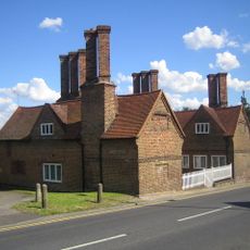
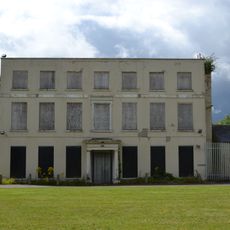
Harefield, Village in London Borough of Hillingdon, England.
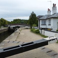
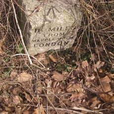
Harefield is a village on the northwestern edge of Greater London, situated between the Grand Union Canal and expanses of green space. It lies about 17 miles from central London, blending rural quietness with urban connections.
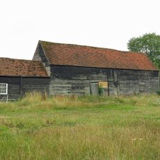
The Domesday Book of 1086 records Harefield as Herefelle, combining Old English words for army and field, indicating early military importance. The settlement later developed into an agricultural community from this fortified position.
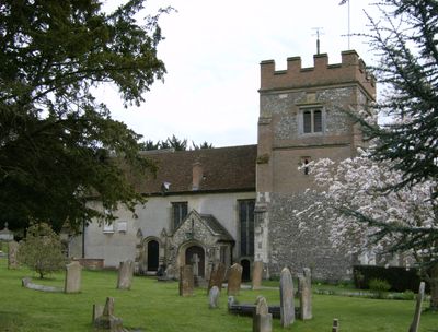
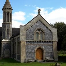
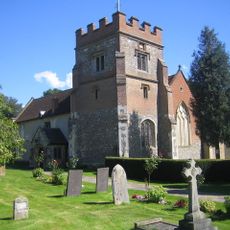
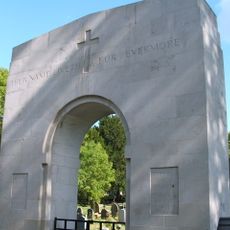
The St Mary the Virgin Church serves as a focal point for community life with regular gatherings and annual memorial services honoring Australian soldiers from World War I. It connects residents through shared occasions throughout the year.
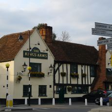
Regular bus services link Harefield to nearby towns and London neighborhoods, making travel straightforward for visitors. Local shops and restaurants are located within walking distance of residential areas.
Harefield Hospital has gained recognition since the late twentieth century for specialized heart surgery and transplant operations at an advanced level. The medical work there attracts patients from around the world.
The community of curious travelers
AroundUs brings together thousands of curated places, local tips, and hidden gems, enriched daily by 60,000 contributors worldwide.