Old Park Wood, Protected woodland in London Borough of Hillingdon, England
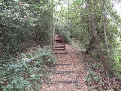
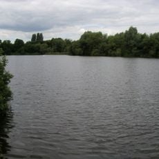
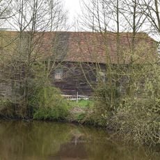
Old Park Wood is a protected woodland site in the London Borough of Hillingdon covering approximately 17 hectares of natural land. The terrain contains small valleys, different soil types, and a mix of oak, birch, hornbeam, and ash trees throughout the reserve.
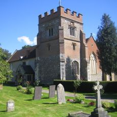
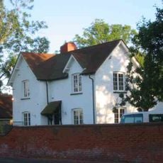
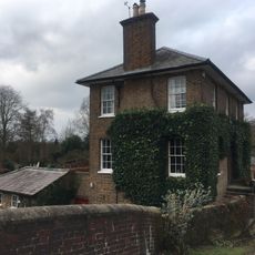
The woodland dates back to the Domesday Book period and was once part of Harefield Park, a larger estate in the area. An eighteenth-century house stood on or near the site before the hospital was built there.
The woodland serves as a place for observing and studying nature, where visitors can encounter rare plant species that grow nowhere else nearby. Walking through it gives people a sense of how the London area looked before urban development changed the landscape.
Access is via a footpath that links Summerhouse Lane and Hill End Road, which is part of the London Loop walking route. Wear sturdy shoes since the ground can be uneven and wet in places, especially after rain.
All three native British woodpecker species can be found nesting and feeding here throughout the year. This makes it one of the rarest woodlands in the London area for watching these birds in their natural habitat.
The community of curious travelers
AroundUs brings together thousands of curated places, local tips, and hidden gems, enriched daily by 60,000 contributors worldwide.