Hartfield, village and civil parish in East Sussex, England, UK
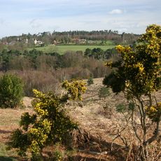
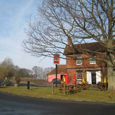
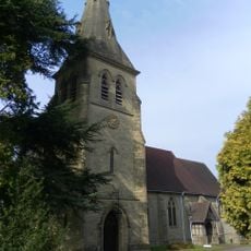
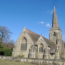
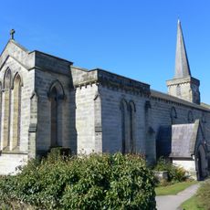
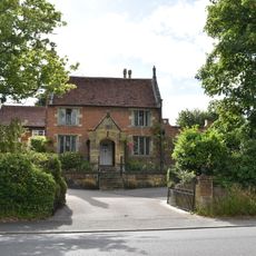
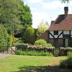
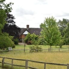
Hartfield is a village and civil parish in the Wealden district of East Sussex, England, sitting at the edge of Ashdown Forest. The village has a compact center with a church, stone cottages, and a main street, while smaller hamlets such as Colemans Hatch and Hammerwood fall within the same parish boundary.
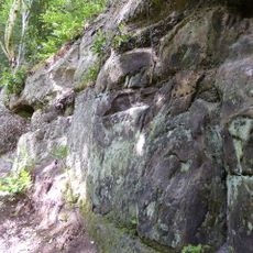
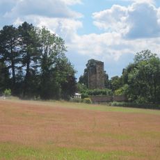
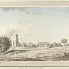
The village appears in the Domesday Book, the great survey of England carried out in the 11th century, and passed through the hands of several noble families over the following centuries. A local iron industry grew during the medieval period, taking advantage of the woodland and water sources nearby, before fading away entirely.
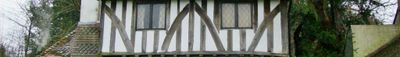
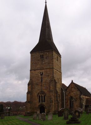
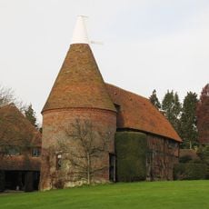
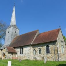
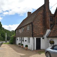
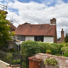
The name Hartfield comes from Old English and refers to a field where deer roamed, pointing to the hunting traditions once tied to this woodland area. Today, visitors walk through narrow lanes lined with stone cottages and pass a small parish church that sits at the heart of village life.
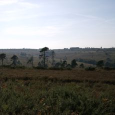
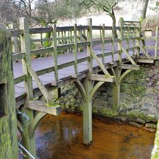
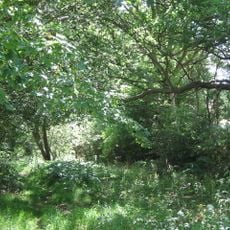
The village is easy to explore on foot since the center is small and the lanes are narrow with little traffic. Ashdown Forest, which begins just outside the village, has marked walking and cycling paths, including the Forest Way trail that follows a former railway line.
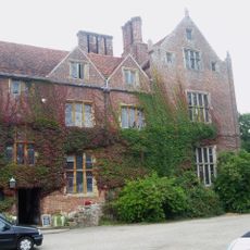
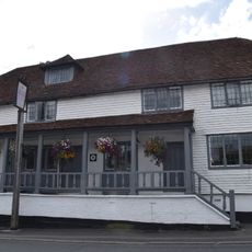
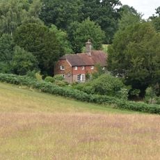
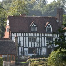
Popes Cottage, said to be the oldest house in the village, dates to 1236 and is still standing today. Not far from the village center, the remains of an old blast furnace can still be spotted, a quiet trace of an iron industry that once operated here and has since been almost entirely forgotten.
The community of curious travelers
AroundUs brings together thousands of curated places, local tips, and hidden gems, enriched daily by 60,000 contributors worldwide.