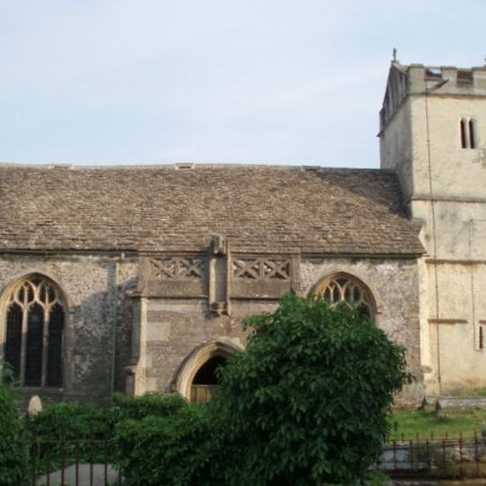
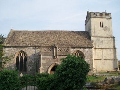
Charfield, village in the United Kingdom
The community of curious travelers
AroundUs brings together thousands of curated places, local tips, and hidden gems, enriched daily by 60,000 contributors worldwide.
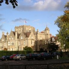
Tortworth Court
2.7 km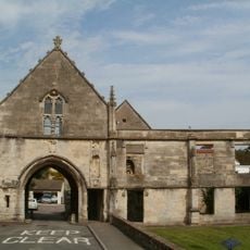
Kingswood Abbey
2.7 km
Slickstones Quarry, Cromhall
1.7 km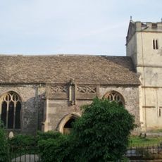
St James' Church, Charfield
909 m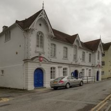
Town Hall
3.8 km
Parish Church of the Holy Trinity
3.1 km
Parish Church of St Andrew
3.2 km
Parish Church of St John
147 m
Parish Church of St Leonard
2.1 km
Canopied Seat And Flanking Walls,Memorial To The Countess Of Ducie,25 Yards East Of Chancel Of St Leonard's Church
2 km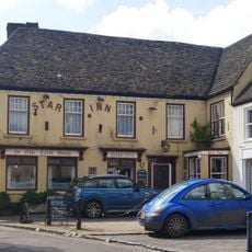
Star Inn
3.8 km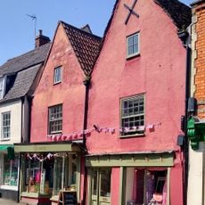
37, Long Street
3.9 km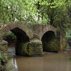
Sturt Bridge, Wickwar
4 km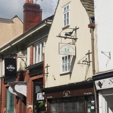
49, Long Street
3.8 km
Charfield War Memorial
166 m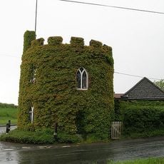
The Round House
2.4 km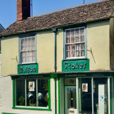
Number 7 And Linking Wall To Number 9
3.8 km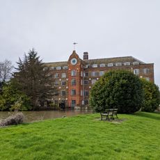
Former Mill Building At New Mills,west Of Bushford Bridge
2 km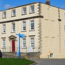
Well House
3.8 km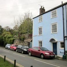
Branksmere
3.6 km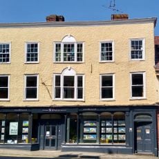
1, High Street
3.8 km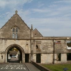
Abbey Gatehouse And Adjoining Wall To East
2.7 km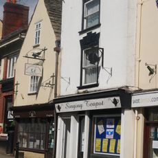
47, Long Street
3.9 km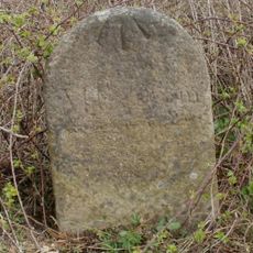
Milestone At National Grid Reference St6977 8999
3 km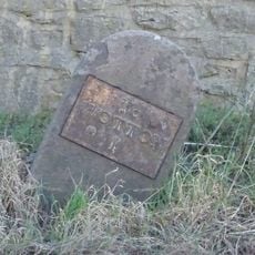
Milestone
3.7 km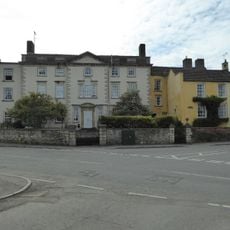
Boundary House,Including Gatepiers And Wall
2.6 km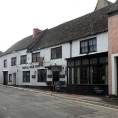
Royal Oak
3.7 km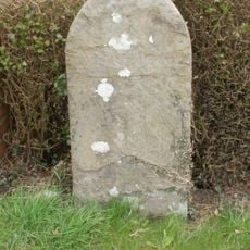
Milestone, just W jcn minor road to N Nibley
2.3 kmDiscover hidden gems everywhere you go!
From secret cafés to breathtaking viewpoints, skip the crowded tourist spots and find places that match your style. Our app makes it easy with voice search, smart filtering, route optimization, and insider tips from travelers worldwide. Download now for the complete mobile experience.

A unique approach to discovering new places❞
— Le Figaro
All the places worth exploring❞
— France Info
A tailor-made excursion in just a few clicks❞
— 20 Minutes
