Ruislip, Suburban district in Hillingdon, England
Ruislip is a suburb in the London Borough of Hillingdon, roughly 14 miles (22 kilometers) west of the city center, with residential streets, small shops, and patches of parkland between housing developments. Five Underground stations on the Metropolitan and Central lines serve different parts of the area and connect it to the rest of the city.
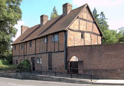
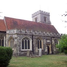
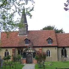
The settlement appears in the Domesday Book of 1086 as a manor estate, and St. Martin's Church was built in the 13th century. The village remained agricultural into the 20th century, before the extension of the Metropolitan Railway in the 1930s began its transformation into a suburb.
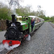
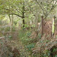
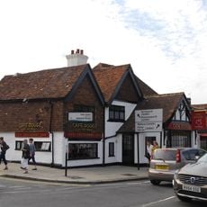
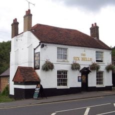
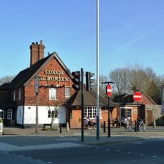
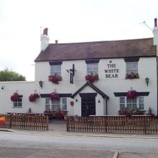
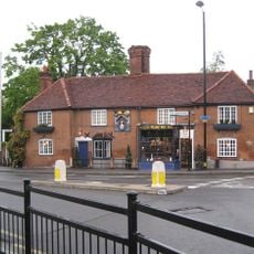
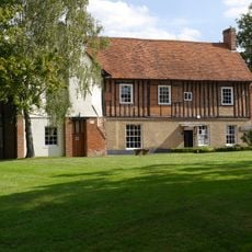
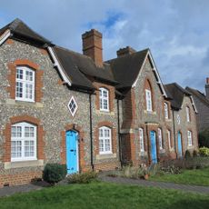
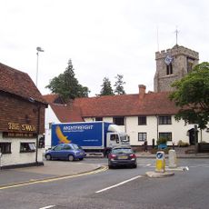
The village core retains timber-framed buildings from the 16th century and traditional pubs that give it the appearance of an English market town from earlier days. On summer weekends, families gather on the green spaces around the Lido, where children ride the narrow-gauge railway while others try water sports or feed ducks.
Five Underground stations spread across the different residential areas offer direct connections into central London and to other parts of the city. The streets are mostly flat and easy to walk, and several green spaces invite short strolls.
The artificial sand beach at the Lido was created in the 1930s and is still used by visitors today, although swimming in the water itself is no longer permitted. The miniature railway alternates between diesel and steam locomotives, which run on specific days according to a fixed timetable.
The community of curious travelers
AroundUs brings together thousands of curated places, local tips, and hidden gems, enriched daily by 60,000 contributors worldwide.