Watlington, market town and civil parish in South Oxfordshire district, Oxfordshire, England
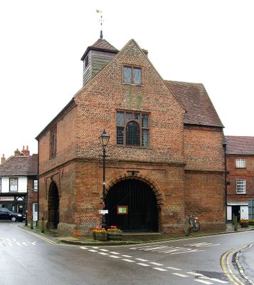
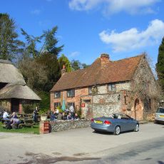
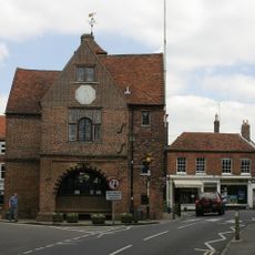
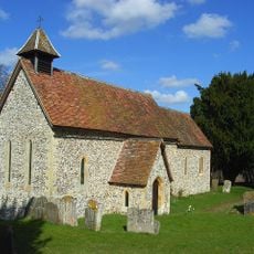
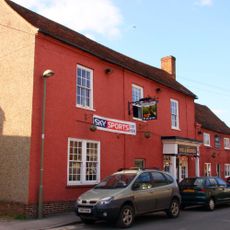
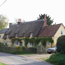
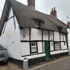
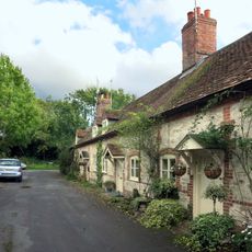
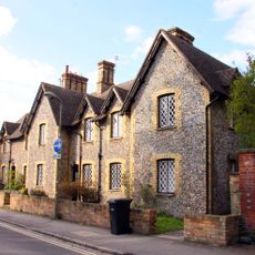
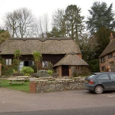
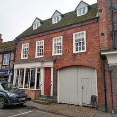
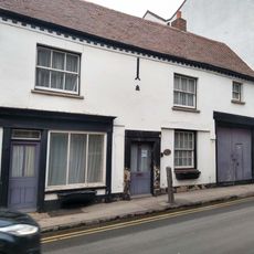
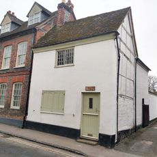
Watlington is a small market town and civil parish in South Oxfordshire, England, built around narrow lanes, old stone houses, and a central church. A 17th-century town hall stands near the middle of town, alongside a handful of shops and pubs that serve both locals and visitors.
Early settlers came to this area from around the 6th century, drawn by the ancient Icknield Way trading route that ran nearby. By the Middle Ages, regular Saturday markets had taken root and shaped the town as a local trading hub.
The name Watlington traces back to an early settler called Waetla, which gives the town a personal origin rarely seen in place names. The Saturday market tradition lives on today, and the town hall remains the natural gathering point for local events and community life.
The town is easy to reach by car from the M40, and regular bus services run between Watlington and Oxford. Its compact layout means everything can be covered on foot in a short visit without any particular planning.
On Watlington Hill, just outside town, a white chalk mark was cut into the slope in the 1700s by a local landowner who wanted it to look like a church spire when seen from his house. The shape is still clearly visible today and tends to catch visitors off guard when they first spot it.
The community of curious travelers
AroundUs brings together thousands of curated places, local tips, and hidden gems, enriched daily by 60,000 contributors worldwide.