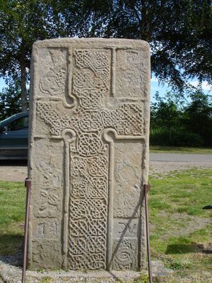
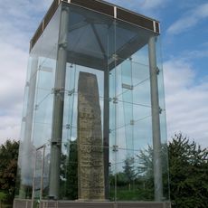
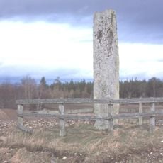
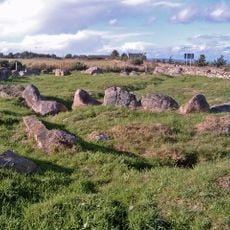
Rodney's Stone, Pictish stone near Brodie Castle, Scotland
Rodney's Stone is a Pictish monument near Brodie Castle carved on both sides with religious and symbolic imagery, reaching about 6 feet (1.9 meters) in height. The carving includes a Christian cross, animal designs, and Pictish symbols, alongside one of Scotland's longest Ogham inscriptions recording a Pictish name.
The stone was discovered in 1781 during excavations in Dyke village and later renamed to honor Admiral Rodney's victory at sea over French naval forces. Its original carvings reflect the era of ancient Pictish kingdoms, centuries before its modern name took hold.
The stone carries a name tied to a famous naval battle rather than its original Pictish origins, reflecting how 18th-century interests reshaped the way people remembered ancient monuments. This gap between what the stone actually is and what it was renamed for shows how historical narratives shift over time.
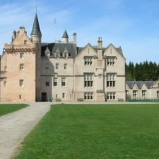
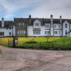
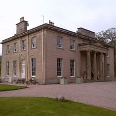
The stone sits beside the driveway leading to Brodie Castle and remains viewable year-round, even when castle grounds are closed to the public. You can examine it freely from the side of the road without needing to arrange special access.
The back side features rare Pictish symbols rarely seen together, including two fish monsters and a double disc with a Z-shaped rod, an uncommon combination found on very few Scottish stones. This unusual arrangement makes it particularly valuable to scholars studying Pictish art.
The community of curious travelers
AroundUs brings together thousands of curated places, local tips, and hidden gems, enriched daily by 60,000 contributors worldwide.