
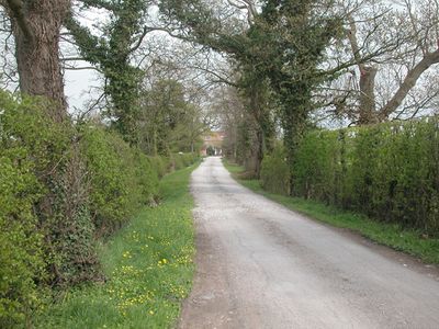
Golborne David, civil parish in Cheshire, UK
Location: Cheshire West and Chester
GPS coordinates: 53.13252,-2.81483
Latest update: March 3, 2025 21:29

Saighton Grange
2.4 km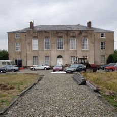
Calveley Hall
1.2 km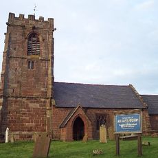
All Saints Church, Handley
2.2 km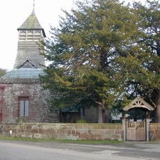
St Mary's Church
2 km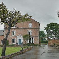
Golborne Old Hall
655 m
Golborne Bridge
831 m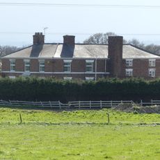
Well House Farmhouse
2.3 km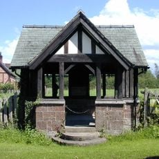
War Memorial Well House
3 km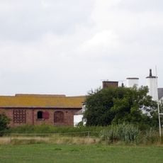
Lea Manor Farm, Farm building immediately South West of Farmhouse
2.9 km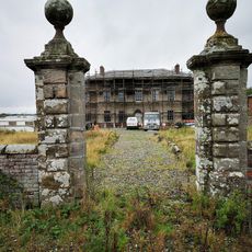
Gate piers and front garden walls to Calveley Hall
1.2 km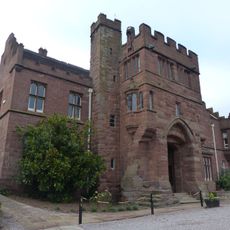
Abbey Gate College Gatehouse Gateway
2.4 km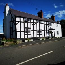
Langford House
2.3 km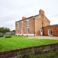
Milton Green Farmhouse
1 km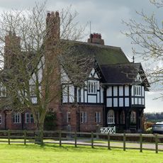
Leahall Farmhouse
2.7 km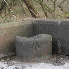
Boundary stone at north end of Golborne Bridge
826 m
Causeway over moat at Hatton Hall
2.1 km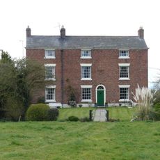
Green Farmhouse
3 km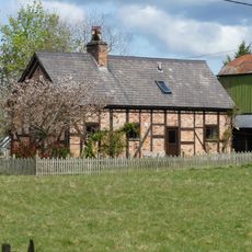
Pump Cottage, Aldersey
3 km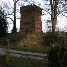
Water Tower
2.6 km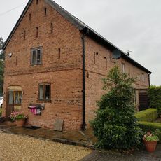
Corn Barn 30 Metres North Of Golborne Old Hall
642 m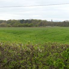
Bruera moated site and adjacent field system
2.1 km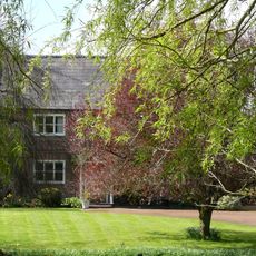
Manor Cottage
3 km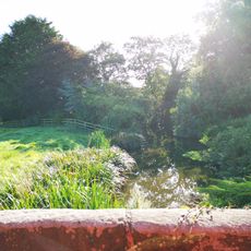
Hatton Hall moated site
2.1 km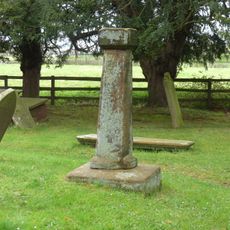
Standing cross in St Mary's churchyard
2 km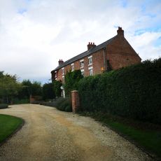
Russia Hall
2.1 km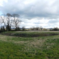
Moated site of Lea Hall, 80m east of Leahall Farm
2.6 km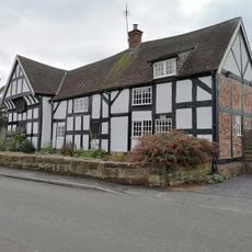
Handley Oak
2.3 km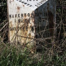
Milepost, Hatton Heath, S of Lodge Farm and Power Movers
1.9 kmVisited this place? Tap the stars to rate it and share your experience / photos with the community! Try now! You can cancel it anytime.
Discover hidden gems everywhere you go!
From secret cafés to breathtaking viewpoints, skip the crowded tourist spots and find places that match your style. Our app makes it easy with voice search, smart filtering, route optimization, and insider tips from travelers worldwide. Download now for the complete mobile experience.

A unique approach to discovering new places❞
— Le Figaro
All the places worth exploring❞
— France Info
A tailor-made excursion in just a few clicks❞
— 20 Minutes