
Carterton, town and civil parish in West Oxfordshire, England
Location: West Oxfordshire
Shares border with: Shilton, Alvescot, Black Bourton, Brize Norton
Website: http://carterton-tc.gov.uk
GPS coordinates: 51.75600,-1.58700
Latest update: March 2, 2025 23:52
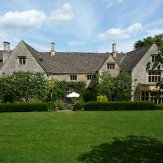
Asthall Manor
4.9 km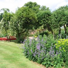
Cotswold Wildlife Park
5 km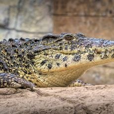
Crocodiles of the World
2.4 km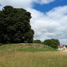
Asthall Barrow: an Anglo-Saxon burial mound 100m SSW of Barrow Farm
3.7 km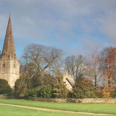
Church of St Peter and St Paul
4.1 km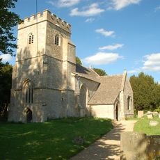
Church of St Peter
2.2 km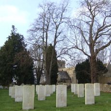
Church of St Mary the Virgin
2.2 km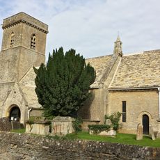
Church of St Britius
1.8 km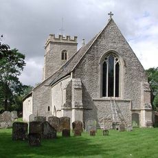
Church of the Holy Rood
2.6 km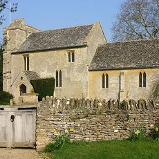
Church of St George
3.6 km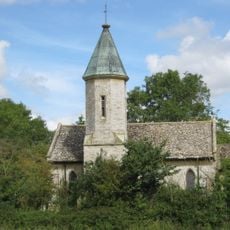
Church of the Holy Trinity
3.8 km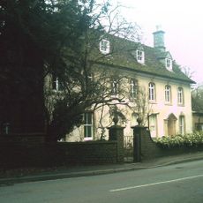
Kencot House
3.4 km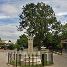
Carterton War Memorial
690 m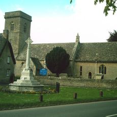
Brize Norton War Memorial
1.8 km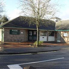
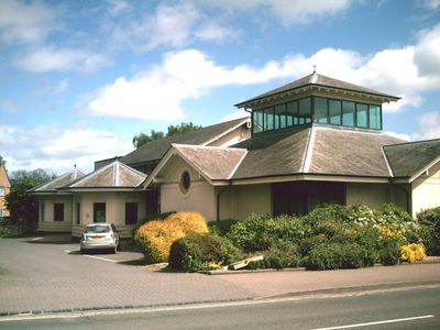
Carterton Library
703 m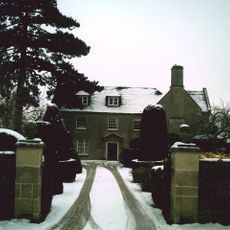
Broadwell House
4.1 km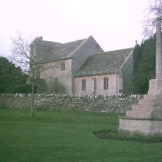
Kencot War Memorial, West Oxfordshire
3.6 km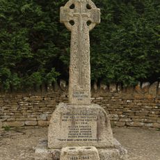
Black Bourton War Memorial
2.5 km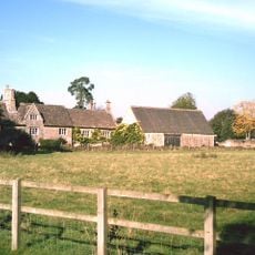
Manor Farmhouse
3.9 km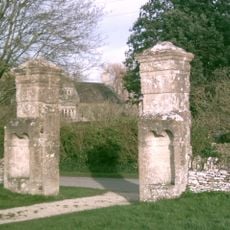
Gatepier 145 Metres To South East Of Broadwell Manor
4.1 km
Gatepier 150 Metres To South East Of Broad Well Manor
4.1 km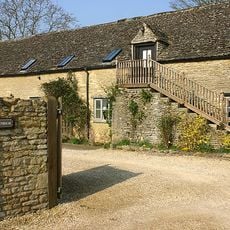
Malt House
3.6 km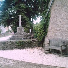
Village Cross
4.1 km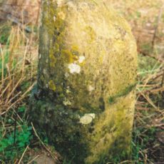
Milestone, W of Barrow Plantation, on ridge above Astall; between A40 roundabout & turn to Brize
3.9 km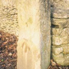
Milestone, Shilton Road; by No.26, N of garage
1.8 km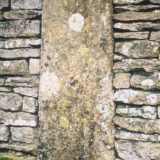
Milestone, Station Road; opp. Church, in boundary wall of Stoneleigh House
1.8 km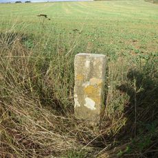
Milestone, Shilton Road; Barley Park
5 km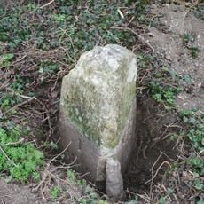
Milestone, the old road down White Hill, just below from house
5 kmVisited this place? Tap the stars to rate it and share your experience / photos with the community! Try now! You can cancel it anytime.
Discover hidden gems everywhere you go!
From secret cafés to breathtaking viewpoints, skip the crowded tourist spots and find places that match your style. Our app makes it easy with voice search, smart filtering, route optimization, and insider tips from travelers worldwide. Download now for the complete mobile experience.

A unique approach to discovering new places❞
— Le Figaro
All the places worth exploring❞
— France Info
A tailor-made excursion in just a few clicks❞
— 20 Minutes