
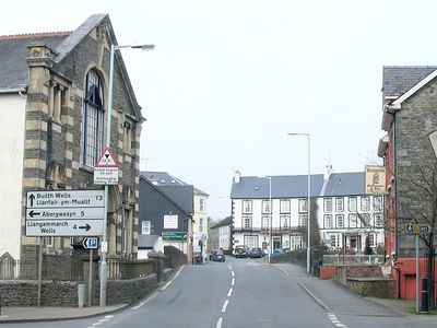
Llanwrtyd Wells, town in Powys, Wales
Location: Llanwrtyd Wells
Website: http://llanwrtyd.org.uk
GPS coordinates: 52.10540,-3.64110
Latest update: May 6, 2025 02:11
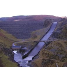
Llyn Brianne
8.1 km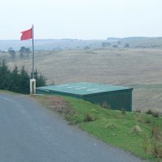
Sennybridge Training Area
8.2 km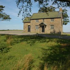
Mynydd Epynt
9.5 km
Llanllywenfel Parish Church
7.1 km
Eglwys Oen Duw
6.7 km
St Barnabas's Church
10 km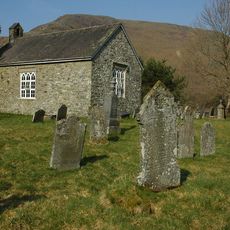
Church of St Paulinus
8.9 km
St David's Church
1.9 km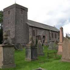
St Cadmarch's Church
5.9 km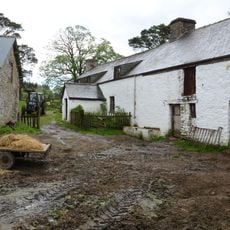
Cefn Brith
4.1 km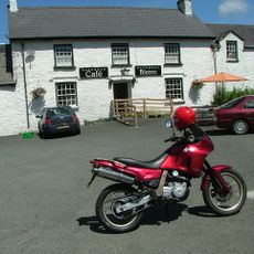
Glanbran Arms Inn including former barn range to left.
9.7 km
Pantycelyn Baptist Chapel
7.5 km
Bethesda Chapel
231 m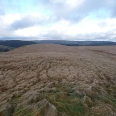
Pen y Gurnos
11 km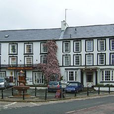
Neuadd Arms Hotel
314 m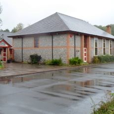
Llanwrtyd Library
246 m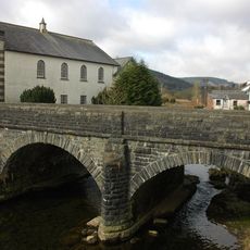
Pont Rhyd y Fferau
251 m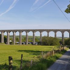
Cynghordy Viaduct
8.3 km
Garth House
7.4 km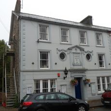
Llanwrtyd War Memorial Institute
280 m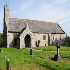
St Afan's Church, Llanafan Fechan
10.3 km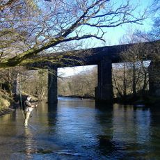
Railway viaduct SW of Aberdulas Farm (partly in Llangammarch Community)
7.3 km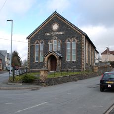
Llanwrtyd Wells and District Heritage Centre
388 m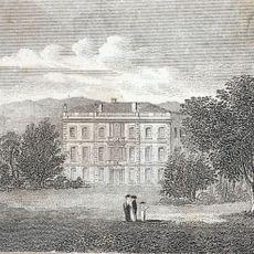
Glanbran
10.9 km
Llanwrtyd Independent Chapel
388 m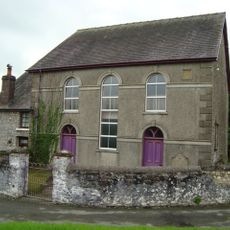
Bethel Welsh Independent Chapel
9.6 km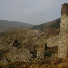
Engine house and chimney at Rhandirmwyn lead-mine
9.2 km
Bwlch-y-Ffin Independent Chapel
8.3 kmVisited this place? Tap the stars to rate it and share your experience / photos with the community! Try now! You can cancel it anytime.
Discover hidden gems everywhere you go!
From secret cafés to breathtaking viewpoints, skip the crowded tourist spots and find places that match your style. Our app makes it easy with voice search, smart filtering, route optimization, and insider tips from travelers worldwide. Download now for the complete mobile experience.

A unique approach to discovering new places❞
— Le Figaro
All the places worth exploring❞
— France Info
A tailor-made excursion in just a few clicks❞
— 20 Minutes