
Ryarsh, village and civil parish in Kent, United Kingdom
Location: Tonbridge and Malling
GPS coordinates: 51.31482,0.39219
Latest update: March 5, 2025 08:12
Coldrum Long Barrow
1.5 km
North Downs Way
1.7 km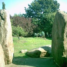
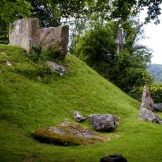
Chestnuts long barrow
1.8 km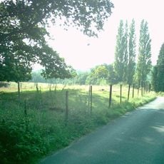
Addington Long Barrow
1.7 km
Leybourne Castle
2.3 km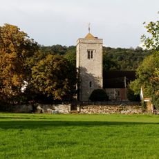
Church of St Peter and St Paul, Trottiscliffe
2.2 km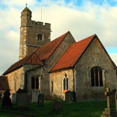
Church of St Martin
975 m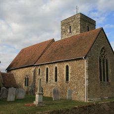
Church of St Michael
2.1 km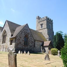
Church of St Margaret
1.8 km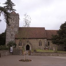
Church of St Peter and St Paul
2.4 km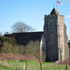
Church of All Saints, Birling
1.3 km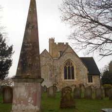
Obelisk 20 Yards To East Of Addington Church
1.8 km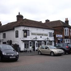
Five Pointed Star Public House
2.6 km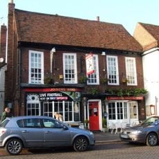
The Joiners Arms Public House
2.5 km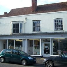
West Malling Library
2.5 km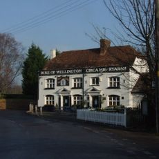
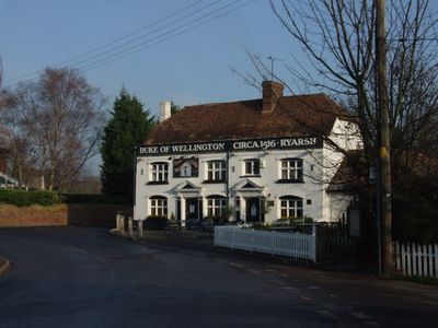
The Duke Of Wellington Public House
220 m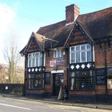
The Bull Public House
2.4 km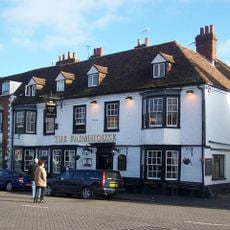
Bear Hotel
2.6 km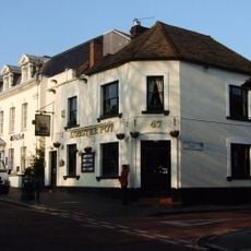
The Lobster Pot
2.6 km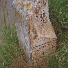
Milestone
1.4 km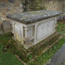
Chest Tomb 15 Yards South West Of Offham Church
2.1 km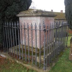
Frederick Addison Chest Tomb 15 Yards South Of Offham Church
2.1 km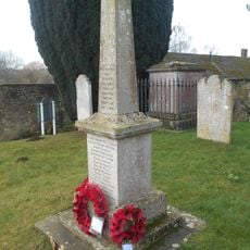
Offham War Memorial In St Michaels Churchyard
2.1 km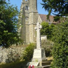
Birling War Memorial, Kent
1.3 km
Addington Long Barrow
1.8 km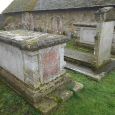
Chest Tomb 10 Yards South West Of Offham Church
2.1 km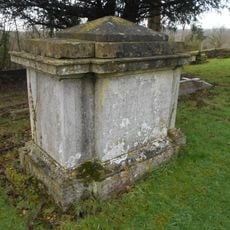
Chest Tomb 20 Yards To East Of Addington Church
1.8 km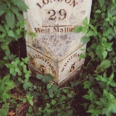
Milestone, London Road, E of Town Hill roundabout
2.4 kmVisited this place? Tap the stars to rate it and share your experience / photos with the community! Try now! You can cancel it anytime.
Discover hidden gems everywhere you go!
From secret cafés to breathtaking viewpoints, skip the crowded tourist spots and find places that match your style. Our app makes it easy with voice search, smart filtering, route optimization, and insider tips from travelers worldwide. Download now for the complete mobile experience.

A unique approach to discovering new places❞
— Le Figaro
All the places worth exploring❞
— France Info
A tailor-made excursion in just a few clicks❞
— 20 Minutes