
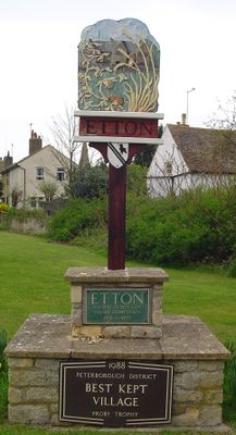
Etton, village and civil parish in Cambridgeshire, UK
Location: City of Peterborough
GPS coordinates: 52.64410,-0.32350
Latest update: April 11, 2025 06:20
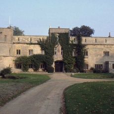
Woodcroft Castle
2 km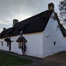
Clare Cottage
1.8 km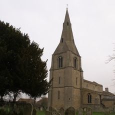
Church of St Stephen
567 m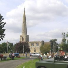
Church of St Benedict
1.9 km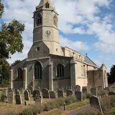
Church of St Botolph
1.6 km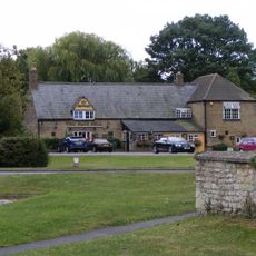
The Blue Bell Public House
2 km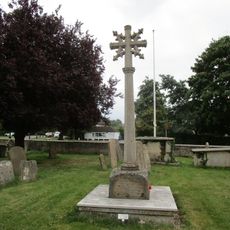
Glinton War Memorial
1.9 km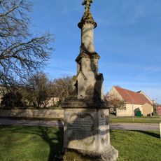
Monument To John Clare
1.7 km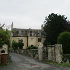
Balcony House
2 km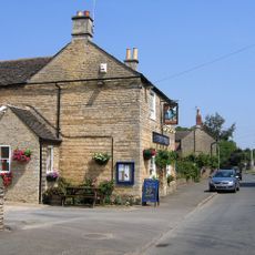
Blue Bell Public House
1.8 km
Exeter Arms Public House
1.6 km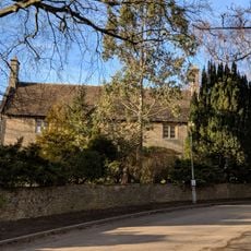
Manor House
1.7 km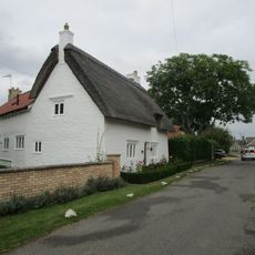
Rose Cottage
2 km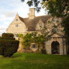
Manor House
2.2 km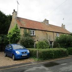
8 And 10, Rectory Lane
2 km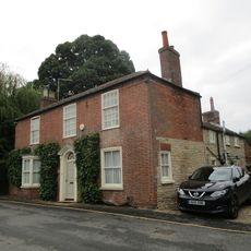
12, Rectory Lane
2 km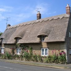
Woodgate Cottage
1.9 km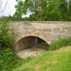
Bridge Over South Drain And Stiles
631 m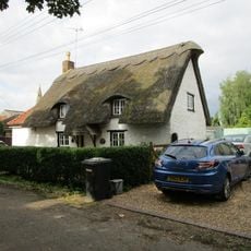
10, Rectory Lane
505 m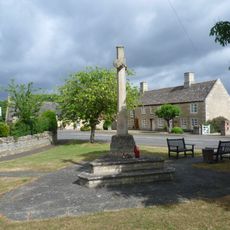
War Memorial at Junction with Castor Road
4.6 km
Stone Haven
1.9 km
Scotsmans Lodge
3.9 km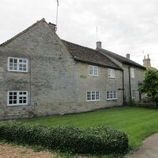
Threanfore
4.6 km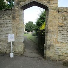
Churchyard Boundary Wall To North West, West And South West Of Church Of St Botolph And Gateway Arch
1.6 km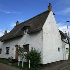
20, Maxey Road
1.5 km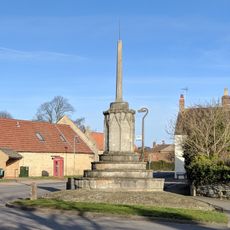
Market Cross
1.7 km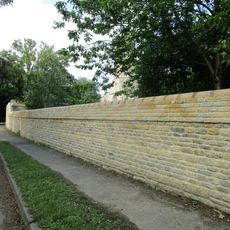
Garden And Farmyard Boundary Wall To West Of College Farmhouse, Running South Along Church Lane And Then East Along Glinton Road To Cartsheds
1.7 km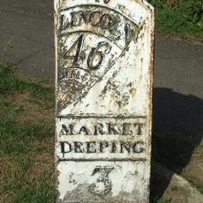
Milepost, Lincoln Road, N of village
1.7 kmVisited this place? Tap the stars to rate it and share your experience / photos with the community! Try now! You can cancel it anytime.
Discover hidden gems everywhere you go!
From secret cafés to breathtaking viewpoints, skip the crowded tourist spots and find places that match your style. Our app makes it easy with voice search, smart filtering, route optimization, and insider tips from travelers worldwide. Download now for the complete mobile experience.

A unique approach to discovering new places❞
— Le Figaro
All the places worth exploring❞
— France Info
A tailor-made excursion in just a few clicks❞
— 20 Minutes