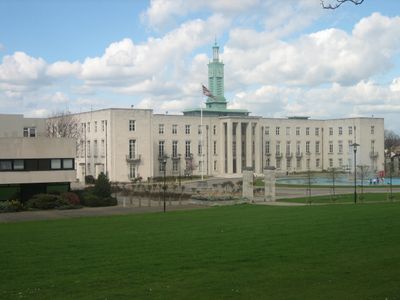
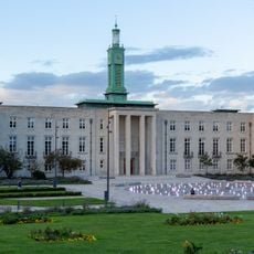
Walthamstow, District in East London, England
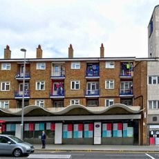
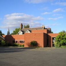
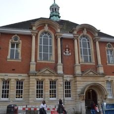
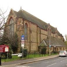
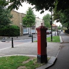
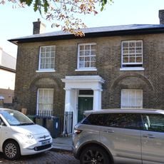
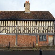
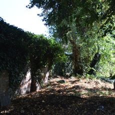
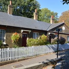
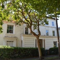
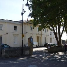
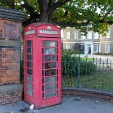
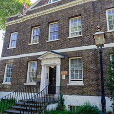
Walthamstow is a district in northeast London with residential neighborhoods, shopping streets, and parks connected by several train stations. A long market runs along the main road, while rows of Victorian houses line the side streets and green spaces break up the housing areas.
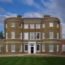
The area was first recorded in 1086 in the Domesday Book as Wilcumestou and belonged to Earl Waltheof before the Norman conquest. From a rural village it grew into a suburb during the 19th century when the railway brought workers from central London.
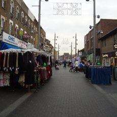
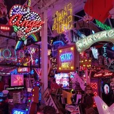
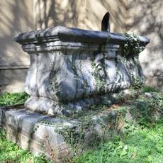
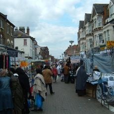
The neighborhood name comes from Old English meaning "place of welcome" or "guest settlement", referring to a stone that once greeted travelers. Today visitors see a lively market scene where traders from many countries sell their goods and the streets fill with voices and smells from around the world.
The market along High Street offers fruit, vegetables, clothes, and international foods on most weekdays, with Saturday being the busiest day. Train stations are spread across the district and connect different residential areas to central London and the eastern suburbs.
John Kemp Starley developed the first modern bicycle here in 1885, with two equal wheels and chain drive, called the Rover. A few years later Frederick Bremer built Britain's first petrol-powered motor car at the same location in 1892.
Location: London Borough of Waltham Forest
GPS coordinates: 51.58400,-0.02110
Latest update: December 4, 2025 19:02
William Morris Gallery
814 m
Walthamstow Market
117 m
Waltham Forest Town Hall
869 m
Vestry House Museum
575 m
St. Mary's Church, Walthamstow
649 m
Mirth, Marvel and Maud
227 m
Old Town Hall
622 m
Church of St Barnabas and St James the Greater
790 m
Central Parade, Walthamstow
201 m
East London Coroner's Court
740 m
God's Own Junkyard
890 m
Walthamstow Library
35 m
Church of St Michael and All Angels
610 m
St Mary's Churchyard Wise Family Tomb Close To South Wall Of Tower
639 m
Pillar Box On Corner Of Church Lane And Path To St Mary's Church
657 m
St Mary's Churchyard, Solly Family Tomb, About 20 Yards To South West Of Tower
622 m
10, Church Lane E17
685 m
L Manze Eel, Pie And Mash Shop
623 m
The Ancient House
661 m
Gates, Gatepiers And Railings At Walthamstow Civic Centre
866 m
Walthamstow High Street
411 m
Chestnuts House
706 m
Wall To South East Side Of Graveyard To St Mary's Church
698 m
Squires Almshouses
586 m
The Chestnuts
709 m
Orford House Social Club
548 m
K6 Telephone Kiosk Outside William Morris Gallery, Forest Road
772 m
Brookscroft
851 mReviews
Visited this place? Tap the stars to rate it and share your experience / photos with the community! Try now! You can cancel it anytime.
Discover hidden gems everywhere you go!
From secret cafés to breathtaking viewpoints, skip the crowded tourist spots and find places that match your style. Our app makes it easy with voice search, smart filtering, route optimization, and insider tips from travelers worldwide. Download now for the complete mobile experience.
A unique approach to discovering new places❞
— Le Figaro
All the places worth exploring❞
— France Info
A tailor-made excursion in just a few clicks❞
— 20 Minutes