Snodland, town in Kent, England
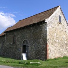
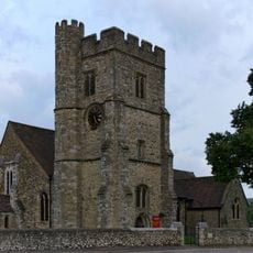
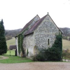
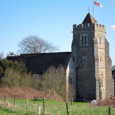
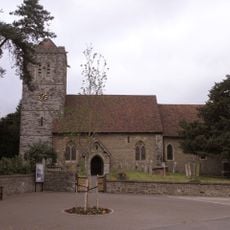
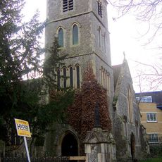
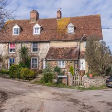
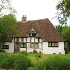
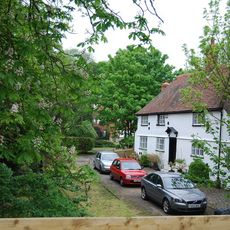
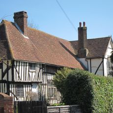
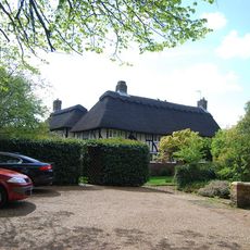
Snodland is a town in the borough of Tonbridge and Malling, in Kent, England, sitting alongside the River Medway. The town is made up of older stone and brick buildings, a Norman church dating to the 12th century, and newer residential streets that spread toward the surrounding countryside.
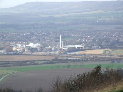
The town was first recorded in 838 AD under the name Snoddingland, when land here was granted to a bishop by a king. The arrival of the railway in 1856 brought rapid growth, as quarrying, paper making, and cement production turned it into a working industrial settlement.
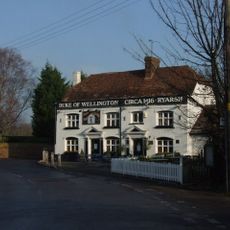
The name Snodland likely comes from an early settler called Snodd or Snodda, and that personal connection to the land still feels present in the town today. Visitors can notice the mix of local pubs, sports clubs, and small shops that make up the fabric of daily life here.
The town has a train station on the Medway Valley line, which connects directly to Rochester, Maidstone, and London, so it is easy to reach by rail. Buses link the town to nearby villages, and open green areas on the edge of town are within walking distance for most visitors.
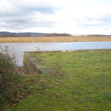
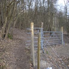
The lime quarried around Snodland was used in the construction of several bridges across the Thames in London. The old quarry sites have since been transformed into lakes and nature areas that are now part of the landscape just outside town.
The community of curious travelers
AroundUs brings together thousands of curated places, local tips, and hidden gems, enriched daily by 60,000 contributors worldwide.