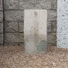
Tyrebagger, Stone circle on Tyrebagger Hill near Dyce, Scotland.
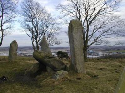
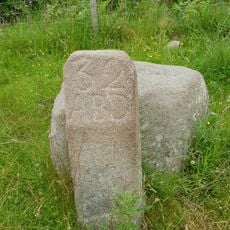
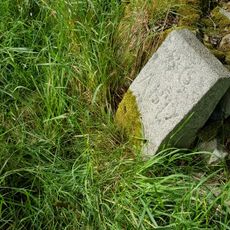
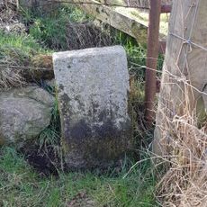
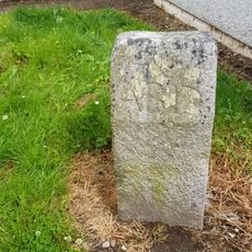
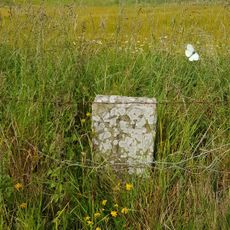
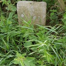
Tyrebagger is a stone circle on a hill near Dyce, made up of eight upright stones and a large flat stone positioned in the center. The stones form a circular arrangement that remains clearly visible, and the recumbent stone in the middle stands out distinctly from the others.
The stone circle was built during the Bronze Age and was originally a ritual or ceremonial place for early communities. Later, the site was changed into a cattle enclosure, which led to modifications inside the circle.
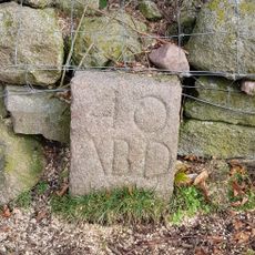
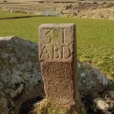
This monument belongs to a group of over 70 recumbent stone circles across Aberdeenshire, showing how important such places were to prehistoric communities. These circles were likely gathering and ceremonial sites, and you can still sense today how central they were to ancient people.
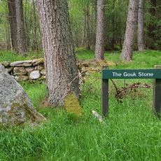
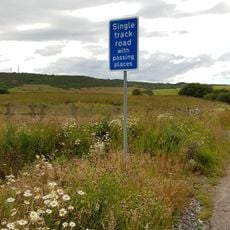
To reach the stones, follow field paths from a parking area near Aberdeen Airpark and cross open fields. The walk is easy to manage on foot, but sturdy shoes are advisable due to uneven ground.
The recumbent stone is grey granite, while the upright stones are red, creating a striking color contrast. This difference in stone type and color makes the site particularly distinctive.
Location: Aberdeen City
Location: Dyce
GPS coordinates: 57.20953,-2.23421
Latest update: December 13, 2025 12:21
Dyce stones
2.7 km
Dyce, Old Parish Church And Burial-ground
2.7 km
Dyce, Liddell's Monument
2.2 km
War Memorial, Gordon Terrace, Dyce, Aberdeen
2.9 km
Newhills Parish Church
4.1 km
Newhills House
4.2 km
Boundary Marker 45, Newton Of Auchmill, Aberdeen
5.4 km
Parkhill, Railway Viaduct
3 km
Boundary Marker 40, Kirkhill Farm, Aberdeen,
3.9 km
Gouk Stone, standing stone
3.2 km
Boundary Marker 34, Greenwelltree, Aberdeen
2.7 km
Boundary Marker 31, Wynford, Aberdeen,
4.3 km
Boundary Marker 46, Westerton Of Auchmill, Aberdeen
5.8 km
Newhills, Old Parish Church, Burial-ground
4 km
Boundary Marker 32, Tulloch, Aberdeen
3.5 km
Boundary Marker 36, Greenwelltree, Aberdeen
2.8 km
Boundary Marker 39, Ashtown, Aberdeen
3.5 km
Boundary Marker 33, Tulloch, Aberdeen
3.3 km
Boundary Marker 35, Greenwelltree, Aberdeen
2.7 km
Boundary Marker 37, East Wall, Steading, Ashtown, Aberdeen
3.1 km
Boundary Marker 44, Bucksburn, Aberdeen
5.2 km
Boundary Marker 30, Wynford Farm, Aberdeen,
4.5 km
Boundary Marker 43, Kepplehills Road, Aberdeen
4.8 km
Boundary Marker 42, Netherhills Farm, Aberdeen
4.4 km
Boundary Marker 41, Netherhills Farm, Aberdeen
4.3 km
Boundary Marker 38, Ashtown, Aberdeen
3.4 km
Stoneywood
4 km
Commemorative plaque to St Mary's Chapel
2.2 kmVisited this place? Tap the stars to rate it and share your experience / photos with the community! Try now! You can cancel it anytime.
Discover hidden gems everywhere you go!
From secret cafés to breathtaking viewpoints, skip the crowded tourist spots and find places that match your style. Our app makes it easy with voice search, smart filtering, route optimization, and insider tips from travelers worldwide. Download now for the complete mobile experience.
A unique approach to discovering new places❞
— Le Figaro
All the places worth exploring❞
— France Info
A tailor-made excursion in just a few clicks❞
— 20 Minutes