
Ermington, village and civil parish in Devon, England, UK
Location: South Hams
Website: http://devon.gov.uk/localstudies/110511/1.html
GPS coordinates: 50.36102,-3.91714
Latest update: March 2, 2025 23:21

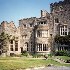
Flete House
1.9 km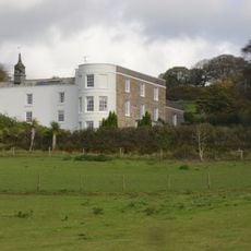
Stowford House
4 km
Church of St George
2.4 km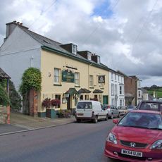
Modbury Inn
2.5 km
Church of St Peter and St Paul, Ermington
249 m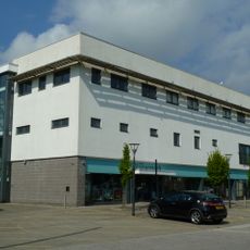
Curzon Cinema at the Watermark
3.2 km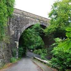
Ivybridge Viaduct including adjacent piers of earlier viaduct
3.9 km
Lower Keaton Bridge
1.5 km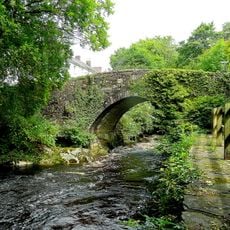
The Bridge
3.4 km
Lotherton Bridge
4.2 km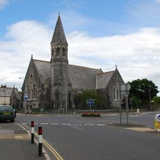
Methodist Church Including Boundary Wall To North And West
3.1 km
Penquit Manor House
1.6 km
Milestone Circa 6 Metres East Of Mary Cross
3.2 km
Flete Lodge
1.3 km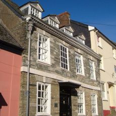
Chain House
2.5 km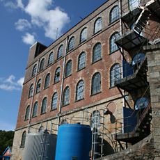
Stowford Paper Mills
3.5 km
Lychgate Approximately 30 Metres South South East Of Church Of St Peter And St Paul
222 m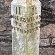
Milestone Immediately North East Of Torr Hill (House)
3.4 km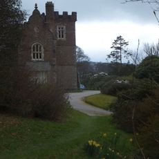
Lukesland
5 km
Barn Approximately 10 Metres West Of Penquit Manor House
1.6 km
Ludbrook Mill And House
2.4 km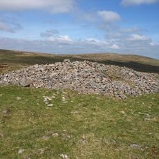
Cairn near the summit of Western Beacon
5 km
Two Pairs Of Gate Piers And Flanking Walls, Immediately North East Of Flete Lodge
1.2 km
Caton House
1.7 km
Guidestone, Cross In Hand, Exeter Road, turn to Rugby Club
3.4 km
Milestone, Lower Bowcombe, W of farm lane on bend
3.4 km
Milestone, 150m W of turn to Higher Ludbrook
1.9 km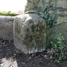
Milestone, 30m E of Erme Bridge
349 mVisited this place? Tap the stars to rate it and share your experience / photos with the community! Try now! You can cancel it anytime.
Discover hidden gems everywhere you go!
From secret cafés to breathtaking viewpoints, skip the crowded tourist spots and find places that match your style. Our app makes it easy with voice search, smart filtering, route optimization, and insider tips from travelers worldwide. Download now for the complete mobile experience.

A unique approach to discovering new places❞
— Le Figaro
All the places worth exploring❞
— France Info
A tailor-made excursion in just a few clicks❞
— 20 Minutes