
Hutton Roof, village and civil parish in the South Lakeland district of Cumbria, England
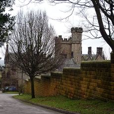
Whittington Hall
3.2 km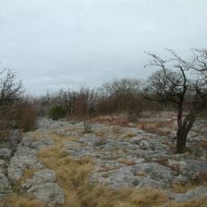
Hutton Roof Crags
1.5 km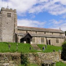
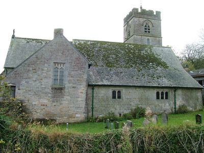
St Michael's Church, Whittington
3.5 km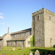
St James' Church, Burton-in-Kendal
4.1 km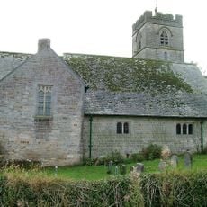
St John's Church, Hutton Roof
681 m
All Saints Church, Lupton
2.8 km
Milepost Approximately 300 Metres North Of Holme Park
4.2 km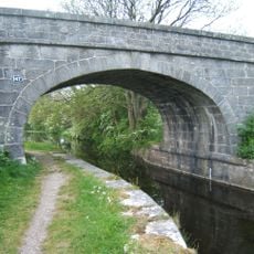
Holme Mill Bridge Over Kendal/Lancaster Canal
4.3 km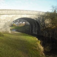
Sheerness Bridge Over Kendal/Lancaster Canal
4.3 km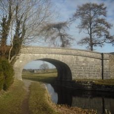
Holme Warehouse Bridge Over Kendal/Lancaster Canal
4.5 km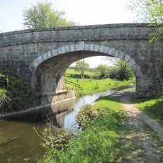
Holme Park Bridge Over Kendal/Lancaster Canal
4.5 km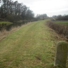
Milestone On Kendal/Lancaster Canal Approximately 300 Metres South South West Of Duke's Bridge
4.5 km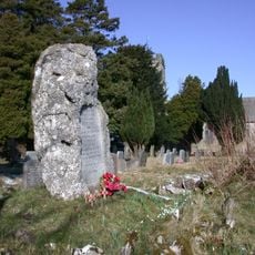
Hutton Roof War Memorial
623 m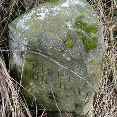
Milestone Approximately 650 Yards North West Of Tearnside Hall
2.2 km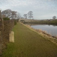
Milestone On Kendal/Lancaster Canal Approximately 100 Metres South Of Holme Warehouse Bridge
4.5 km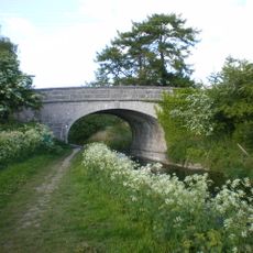
Holme Turnpike Bridge Over Kendal/Lancaster Canal
4.4 km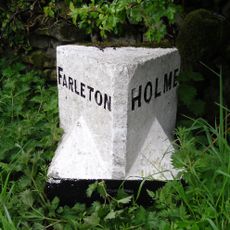
Boundary Stone Approximately 500 Metres South South West Of Townend Farm
4.4 km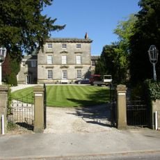
Burton House, North Wing; Burton House, South Wing; Burton House And Rear Garden Wall Attached To South Wing And Forming Rear Wa
4.4 km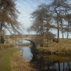
Janson's Bridge Over Kendal/Lancaster Canal
4.4 km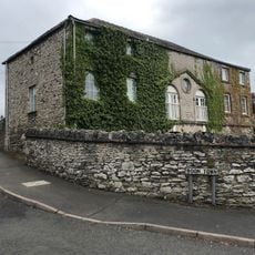
The Coach House
4.4 km
Biggins Hall Farmhouse
3.2 km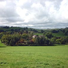
Sellet Hall
3.1 km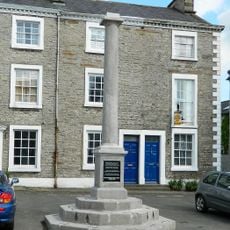
Market Cross
4.3 km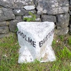
Boundary Stone Between Parishes Of Holme And Burton
4 km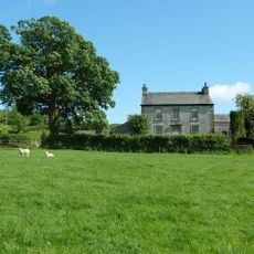
Spout House Farmhouse
4.2 km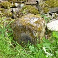
Boundary Stone Between Dalton And Hutton Roof
1.8 km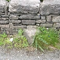
Boundary Stone Approximately 300 Metres South East Of Spout House Farmhouse
3.9 km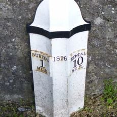
Milepost, S of B6384 jcn, just N of football pitch
4 kmVisited this place? Tap the stars to rate it and share your experience / photos with the community! Try now! You can cancel it anytime.
Discover hidden gems everywhere you go!
From secret cafés to breathtaking viewpoints, skip the crowded tourist spots and find places that match your style. Our app makes it easy with voice search, smart filtering, route optimization, and insider tips from travelers worldwide. Download now for the complete mobile experience.

A unique approach to discovering new places❞
— Le Figaro
All the places worth exploring❞
— France Info
A tailor-made excursion in just a few clicks❞
— 20 Minutes