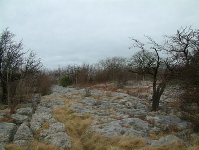
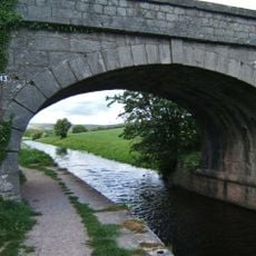
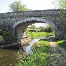
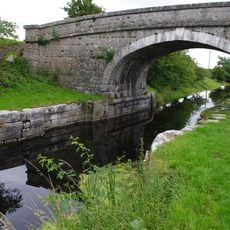
Hutton Roof Crags, Limestone summit in Cumbria, England.
Hutton Roof Crags is a limestone summit in Cumbria featuring distinctive flat stone slabs separated by deep crevices across its surface. The terrain varies in height and offers walkers routes through this exposed, open landscape.
The limestone formed hundreds of millions of years ago when tropical seas covered the area and marine life left behind shells and skeletons. Over time these deposits hardened into rock and were later exposed to the surface.
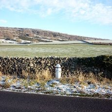
The limestone surfaces here have long been part of local rural life and were used by farmers and craftspeople for their work. The community learned to adapt to this distinctive landscape and incorporate it into their daily activities.
Two walking routes lead through the site and are clearly marked to guide visitors safely. The terrain requires sturdy footwear and care on the slippery stone surfaces, especially in wet weather.
Rare plant species grow here in the special soil conditions created by limestone and are found nowhere else in the area. These plants have adapted to the harsh conditions of this exposed location.
The community of curious travelers
AroundUs brings together thousands of curated places, local tips, and hidden gems, enriched daily by 60,000 contributors worldwide.