
Bradwell, village and civil parish in Derbyshire Dales district, Derbyshire, England
Location: Derbyshire Dales
Shares border with: Castleton, Little Hucklow, Peak Forest, Tideswell, Hazlebadge, Brough and Shatton, Hope
GPS coordinates: 53.32693,-1.74069
Latest update: March 7, 2025 04:38
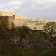
Peveril Castle
2.8 km
Peak Cavern
3 km
Titan
3.6 km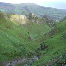
Cave Dale
2.8 km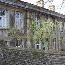
Castleton Hall
2.9 km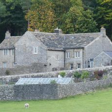
Goosehill Hall
3.1 km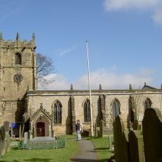
Church of St Edmund
2.9 km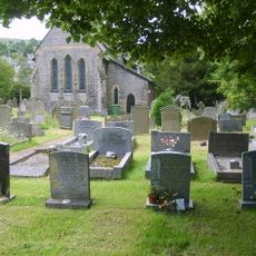
St Barnabas' Church, Bradwell
134 m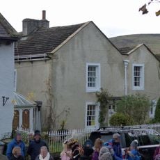
Cryer House
3 km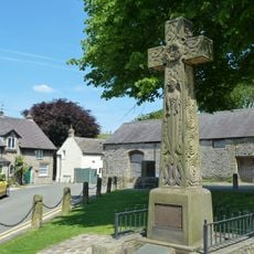
Castleton War Memorial
2.9 km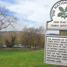
Castleton Town Defences
2.9 km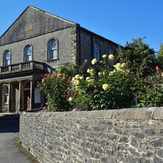
Methodist Church
75 m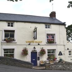
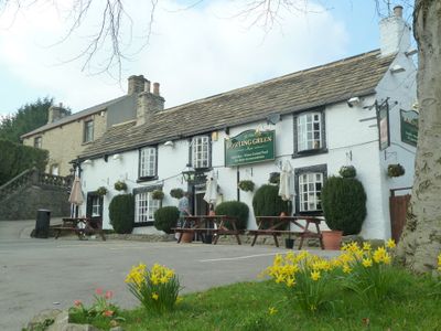
The White Hart Inn
89 m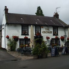
The George
2.9 km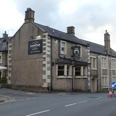
Castle Hotel
3 km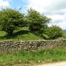
The Grey Ditch
487 m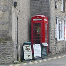
K6 Telephone Kiosk
3 km
Hazlebadge Hall
1.2 km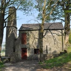
Pindale Mine engine house and attached chimney
1.8 km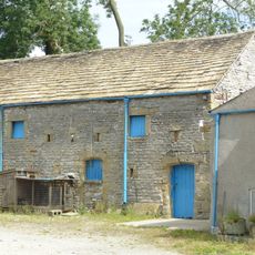
Barn to north of Hazlebadge Hall
1.1 km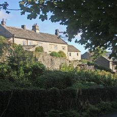
Smalldale Hall and Smalldale Hall Farmhouse and attached barn
722 m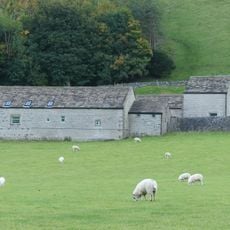
Barn at Goosehill Hall
3.1 km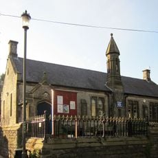
School And Attached Walls And Railings
2.9 km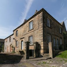
Stanley House and attached stableblock
73 m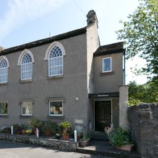
Brook House
106 m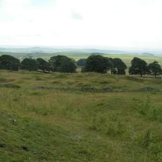
Cop Rake and Moss Rake lead mines 750m north east of Wheston House
4 km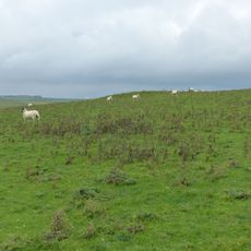
Ox Low oval barrow
4.4 km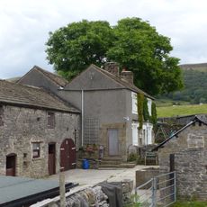
Hazlebadge Farmhouse and attached barn
1.2 kmVisited this place? Tap the stars to rate it and share your experience / photos with the community! Try now! You can cancel it anytime.
Discover hidden gems everywhere you go!
From secret cafés to breathtaking viewpoints, skip the crowded tourist spots and find places that match your style. Our app makes it easy with voice search, smart filtering, route optimization, and insider tips from travelers worldwide. Download now for the complete mobile experience.

A unique approach to discovering new places❞
— Le Figaro
All the places worth exploring❞
— France Info
A tailor-made excursion in just a few clicks❞
— 20 Minutes