
Brampton, civil parish outside Chesterfield, in the North East Derbyshire district, Derbyshire, England
Location: North East Derbyshire
GPS coordinates: 53.23761,-1.52143
Latest update: March 3, 2025 11:37
Hob Hurst's House
3.9 km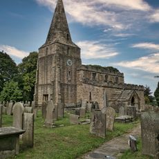
Parish Church of St Peter and St Paul
1.7 km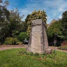
Holymoorside and Walton War Memorial
2.7 km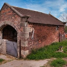
Cart Shed To The North East Of Broomhall Farmhouse
2.1 km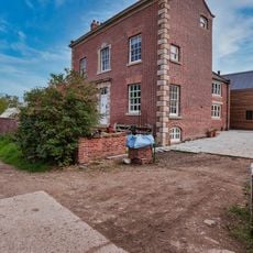
Broomhall Farmhouse
2.1 km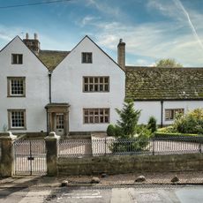
Brampton Manor, Attached Boundary Walls, Gatepiers And Railings
1.6 km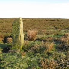
Guidepost at SK 289 693
3.6 km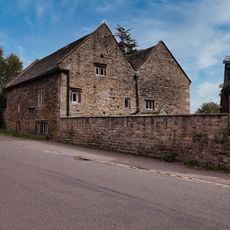
Hipper Hall
2.6 km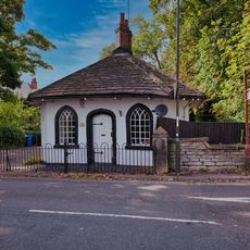
1, Somersall Lane
3.4 km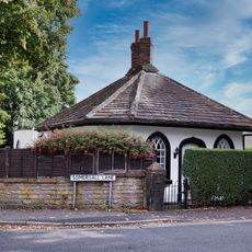
2, Somersall Lane
3.5 km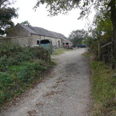
Barn At Frith Hall Farm
1.1 km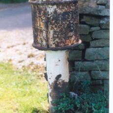
Milepost To West Of Junction With Chandler Hill Lane
1.6 km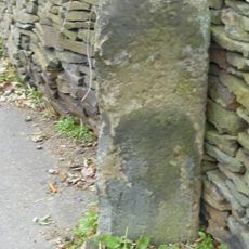
Milestone, Old Brampton, just up from St Peter’s and Paul’s Church
1.5 km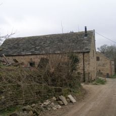
Cruck barn south east of Old Barn Farmhouse
2.3 km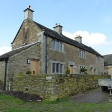
Highashes Farmhouse
2.9 km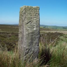
Guidestone At Os288696
3.6 km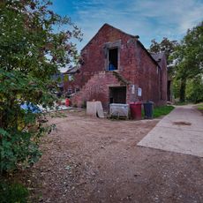
Outbuilding To The West Of Broomhall Farmhouse
2 km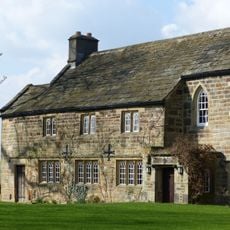
Bolehill House
3.5 km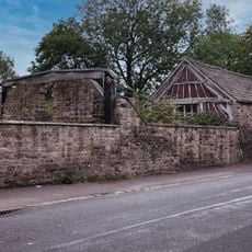
Outbuildings to south west of Hipper Hall
2.6 km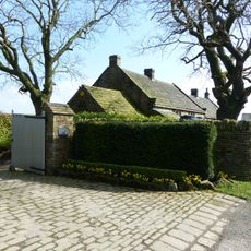
Barlow Grange
2.7 km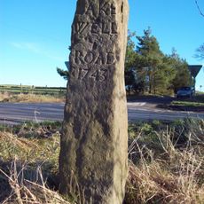
Guide Post At Sk303 720
2 km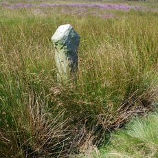
Wayside cross known as Whibbersley Cross
2.9 km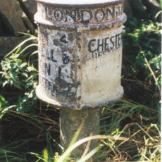
Milepost, SE of Wadshelf near Brampton Boundary
669 m
Outbuilding To The South East Of Hipper Hall
2.6 km
Milepost, opp. entrance to Stonelow Farm, E of Derbys Dales boundary
3 km
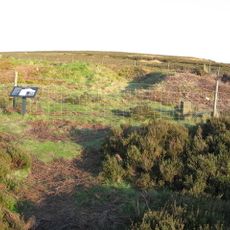
Round cairn on Harland Edge
4 km
Milestone, Clodhall Lane, near Whibbersley Cross
3.1 km
Milestone, opp. Royal Oak PH, Wigley
325 mVisited this place? Tap the stars to rate it and share your experience / photos with the community! Try now! You can cancel it anytime.
Discover hidden gems everywhere you go!
From secret cafés to breathtaking viewpoints, skip the crowded tourist spots and find places that match your style. Our app makes it easy with voice search, smart filtering, route optimization, and insider tips from travelers worldwide. Download now for the complete mobile experience.

A unique approach to discovering new places❞
— Le Figaro
All the places worth exploring❞
— France Info
A tailor-made excursion in just a few clicks❞
— 20 Minutes