Codsall, village in the United Kingdom
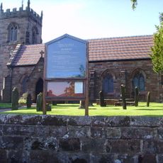
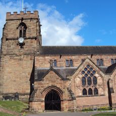
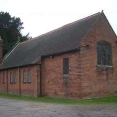
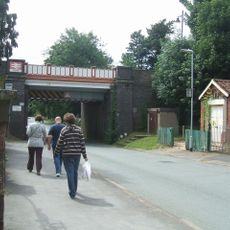
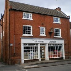
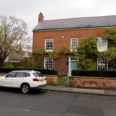
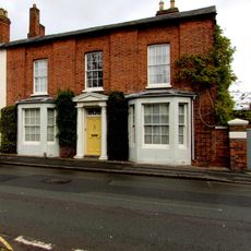
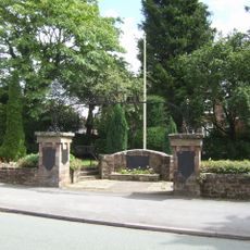
Codsall is a small village in South Staffordshire with quiet streets and old buildings, centred around the Church of St. Nicholas which retains parts of Norman design. The settlement spreads along several streets with houses, small shops, and open green spaces, with a railway station providing a key connection to larger towns.
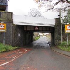
Codsall has been settled since medieval times and was recorded in the Domesday Book in 1086 with only a handful of inhabitants. The railway arrived in the mid-1800s and triggered the village's growth, with a station connecting it to larger towns and attracting new houses, shops, and wealthier residents.
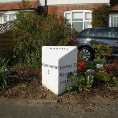
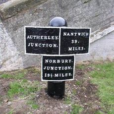
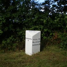
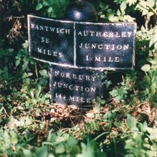
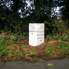
The village's name originates from Old English words meaning a nook of land owned by someone called Cod, and traditional meeting places like The Bull Inn remain at the heart of community life. Old pathways such as Church Lane and Drury Lane reflect how the settlement grew organically over centuries and continue to shape daily routines today.
The village is best explored from the railway station, which offers regular connections to Wolverhampton, Birmingham and Shrewsbury. Buses also run regularly with more frequent services on weekdays, and the centre with shops and cafes is easily accessible on foot.
A notable sculptor named Sir Charles Wheeler was born here and later became president of the Royal Academy, an unexpected cultural achievement for a small village. The place also produced other remarkable figures including a war hero, judges, and a professional footballer who are remembered in local circles.
The community of curious travelers
AroundUs brings together thousands of curated places, local tips, and hidden gems, enriched daily by 60,000 contributors worldwide.