
Silver End, village in the United Kingdom
Location: Braintree
Website: http://silverendparishcouncil.gov.uk
GPS coordinates: 51.84697,0.62614
Latest update: March 11, 2025 20:43
Cressing Temple
1.5 km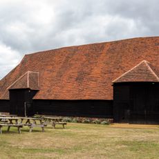
The Grange Barn
4.6 km
Fillol's Hall
3.7 km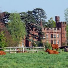
Faulkbourne Hall
3.4 km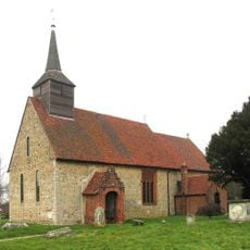
Parish Church of St Germanus
3.3 km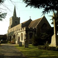
Parish Church of St Mary, Kelvedon
4.8 km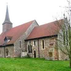
Church of St Ethelreda
2.9 km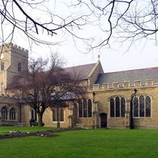
Church of St Nicolas
4.4 km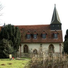
Church of St Mary The Virgin, Pattiswick
4.3 km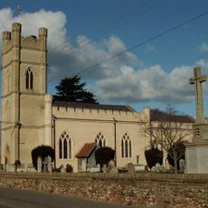
Church of St Mary and All Saints
2.7 km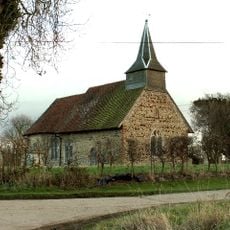
Parish Church of the Holy Trinity
2.5 km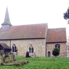
Parish Church of All Saints
1.7 km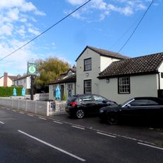
The Willows Public House
2 km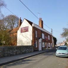
Woolpack Inn
4.4 km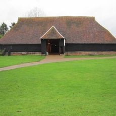
The Barley Barn
1.5 km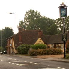
The Swan Inn
3.4 km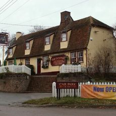
The Dolphin Public House
3.9 km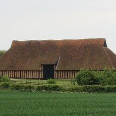
The Wheat Barn
1.4 km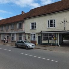
The Fleece Public House
4.7 km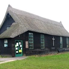
St Francis' Church
91 m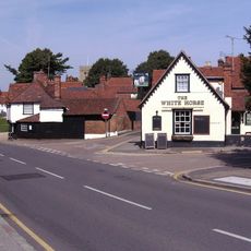
White Horse Public House
4.5 km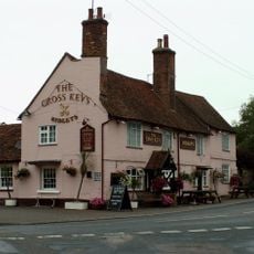
The Cross Keys
2.8 km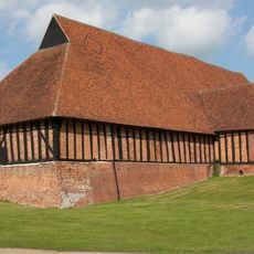
Granary/Stables Block 70 Metres South Of Cressing Temple Farmhouse
1.5 km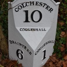
Milepost 17 Metres North East Of No 125
4.1 km
Red House
4.9 km
Curd Hall
2.9 km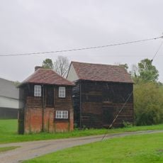
Coach House To North East Of Fambridge Hall
2.4 km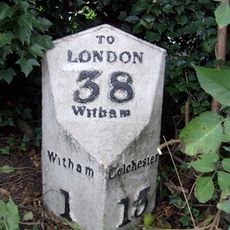
Milepost, Colchester Road, Eastways, opp. Critall Road industrial area
4.9 kmVisited this place? Tap the stars to rate it and share your experience / photos with the community! Try now! You can cancel it anytime.
Discover hidden gems everywhere you go!
From secret cafés to breathtaking viewpoints, skip the crowded tourist spots and find places that match your style. Our app makes it easy with voice search, smart filtering, route optimization, and insider tips from travelers worldwide. Download now for the complete mobile experience.

A unique approach to discovering new places❞
— Le Figaro
All the places worth exploring❞
— France Info
A tailor-made excursion in just a few clicks❞
— 20 Minutes