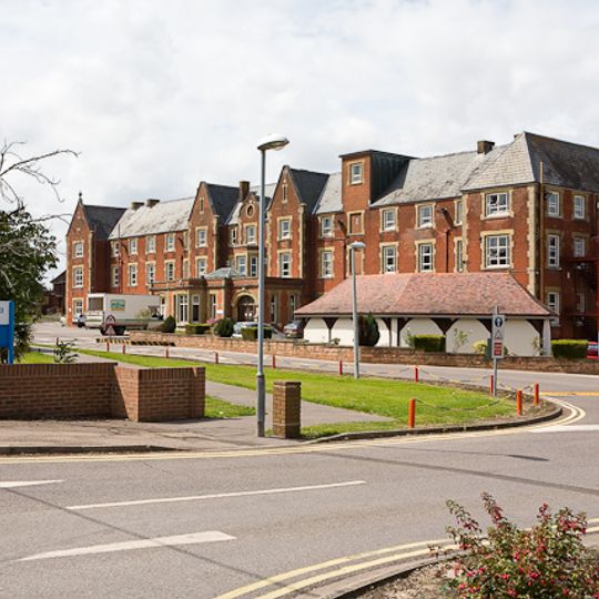
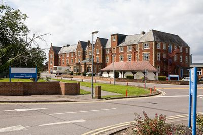
West End, village and civil parish in Hampshire, United Kingdom
The community of curious travelers
AroundUs brings together thousands of curated places, local tips, and hidden gems, enriched daily by 60,000 contributors worldwide.

South Stoneham House
3.6 km
Wessex Lane Halls
3.6 km
Lakeside Country Park
4.5 km
Itchen Valley Country Park
2.5 km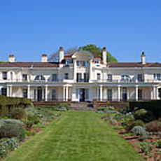
Townhill Park House
2.3 km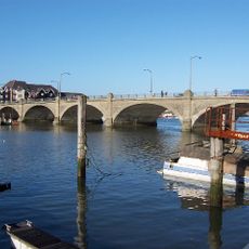
Cobden Bridge
3.3 km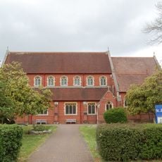
Church of St James
598 m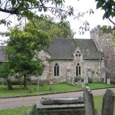
St. Mary's Church, South Stoneham
3.5 km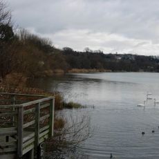
Chessel Bay
3.4 km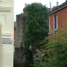
St Denys Priory
3.5 km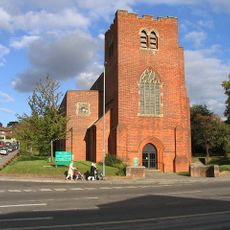
Church of Ascension
3 km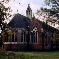
Church of St Denys
3.7 km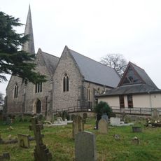
Church of the Holy Saviour
2.1 km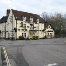
The Fleming Arms Public House
3.8 km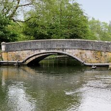
Mans Bridge
2.9 km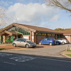
Hedge End Library
2 km
Clock Tower (At East End Of Cobden Bridge)
3.2 km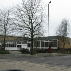
Bitterne Library
1.9 km
Cobbett Road Library
3 km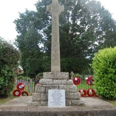
West End War Memorial, Hampshire
598 m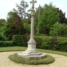
Hedge End War Memorial
2.1 km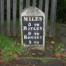
Milestone, Hatch Grange
976 m
Milestone, Wide Lane, Swaythling; 50m W roundabout/jcn Mansbridge Road
3.8 km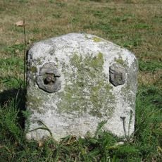
Milestone, Thornhill Park; by Abbots Leigh, Upper Northam Drive, opposite the allotments
1 km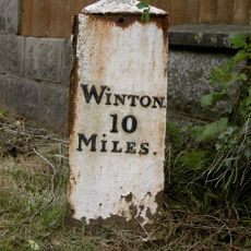
Milepost, Long Common; opp. entrance to Longlands Farm, Botley
3.6 km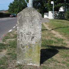
Milestone, Wildern, Botleigh Grange; opp. No. 25, Grange Road
2.4 km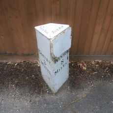
Milepost, Horton Heath; 25m S of traffic lights
4.3 km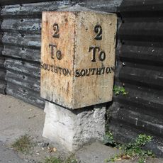
Milestone, Bitterne; opp. 292 Bitterne Road West. 50m W junction with Juniper Road
2.8 kmDiscover hidden gems everywhere you go!
From secret cafés to breathtaking viewpoints, skip the crowded tourist spots and find places that match your style. Our app makes it easy with voice search, smart filtering, route optimization, and insider tips from travelers worldwide. Download now for the complete mobile experience.

A unique approach to discovering new places❞
— Le Figaro
All the places worth exploring❞
— France Info
A tailor-made excursion in just a few clicks❞
— 20 Minutes
