
Farrington Gurney, village in the United Kingdom
Location: Bath and North East Somerset
GPS coordinates: 51.29870,-2.53270
Latest update: March 25, 2025 07:37
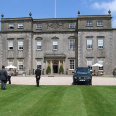
Ston Easton Park
1.6 km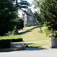
Cholwell House
3.4 km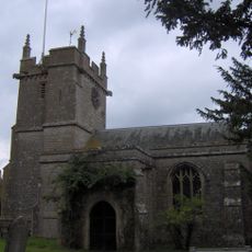
Church of St Mary, Litton
3.7 km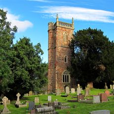
Church of St James, Cameley
2.7 km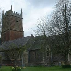
Church of St Augustine, Clutton
3.3 km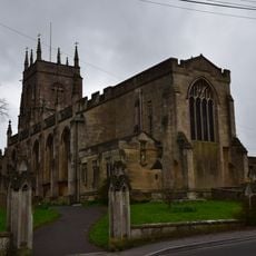
Church of St John the Baptist, Midsomer Norton
3.6 km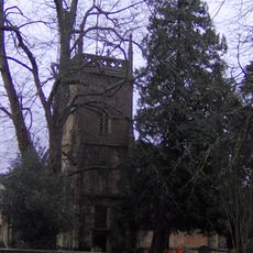
Church of the Holy Trinity, Paulton
2.2 km
Highbury Hill
2.4 km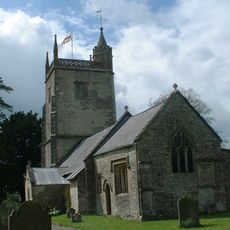
Church of St Margaret, Hinton Blewett
3.8 km
Long Dole Wood and Meadows SSSI
2 km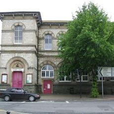
Town Hall
3.8 km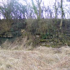
Bowlditch Quarry
3.8 km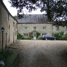
The Priory
3.5 km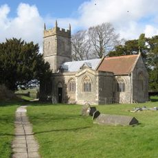
Church of St Mary the Virgin, Ston Easton
2.3 km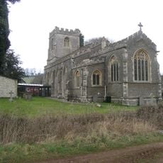
Church of St John the Baptist
3.7 km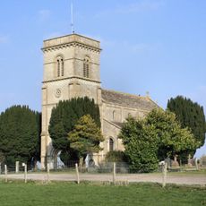
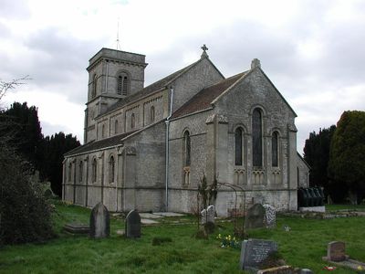
Church of St John the Baptist
558 m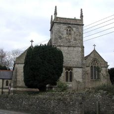
Church of Holy Trinity
2.8 km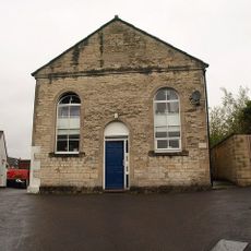
Welton Baptist Chapel
3.8 km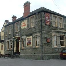
Railway Hotel
3.6 km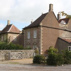
The Old Parsonage
68 m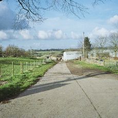
Whitchurch Farmhouse
2.2 km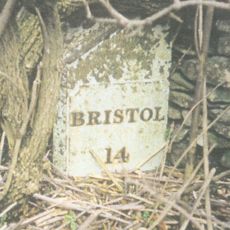
Milepost On A37 At Ngr St 6238 5242
3.3 km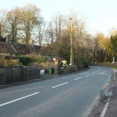
5, High Street
1.9 km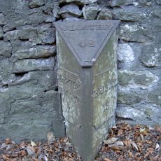
Milepost At Ngr St 6226 5397 On Roadside
1.8 km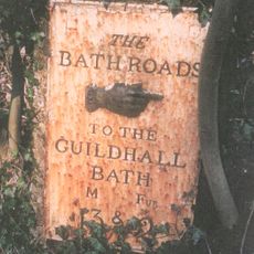
Milestone At Ngr St 6280 5498 On Roadside
679 m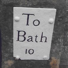
Milestone, High Street, just S of Eastover Road jct
3.2 km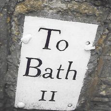
Milestone, Hallatrow, Wells Road, at Hart's Lane jct
1.7 km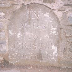
Milestone, Clutton opp. Warwick Arms
3.9 kmVisited this place? Tap the stars to rate it and share your experience / photos with the community! Try now! You can cancel it anytime.
Discover hidden gems everywhere you go!
From secret cafés to breathtaking viewpoints, skip the crowded tourist spots and find places that match your style. Our app makes it easy with voice search, smart filtering, route optimization, and insider tips from travelers worldwide. Download now for the complete mobile experience.

A unique approach to discovering new places❞
— Le Figaro
All the places worth exploring❞
— France Info
A tailor-made excursion in just a few clicks❞
— 20 Minutes