
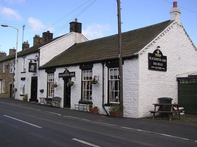
Mickleton, village and civil parish in County Durham, UK
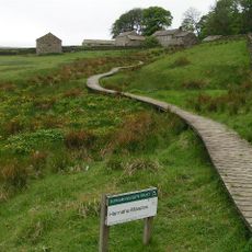
Hannah's Meadows
6 km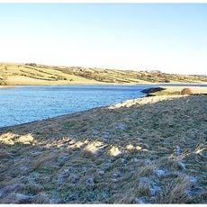
Hury Reservoir
4.4 km
Balderhead Reservoir
6.9 km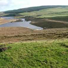
Grassholme Reservoir
3 km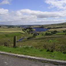
Blackton Reservoir
5.7 km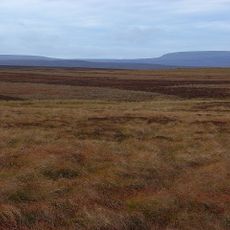
Cotherstone Moor
7.1 km
Hunder Beck Juniper
6.7 km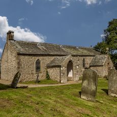
Laithkirk Church
1.1 km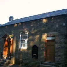
Eggleston Baptist Church
2 km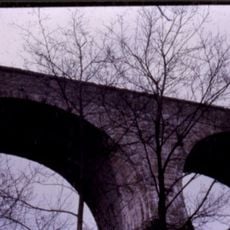
Blackton Bridge Over Eggleston Burn
2.7 km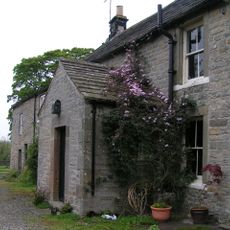
Clove Lodge Farmhouse, Byre/Stables Attached To West And Range Of Sheds Attached To East
6.6 km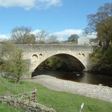
Middleton Bridge
2.4 km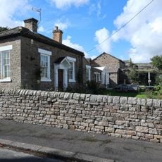
House And Wall Adjacent To Masterman Place Arch
2.2 km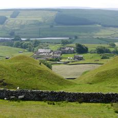
Thringarth Farmhouse And Farm Buildings To Left
3.4 km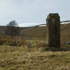
Milepost, 15 Metres North Of Grains O'Th'Beck Bridge
10.1 km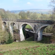
Lune Railway Viaduct
691 m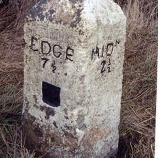
Milestone Circa 100 Metres West Of Track To Heather Lea
1.6 km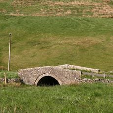
Road Bridge, 400 Metres West Of Town Head Farmhouse, On Road To Mickleton
3 km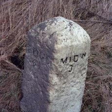
Milestone Circa 150 Metres North West Of Burn Bridge
2.3 km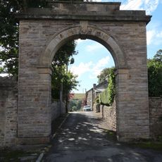
Archway
2.2 km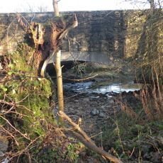
Egglesburn Bridge
2.3 km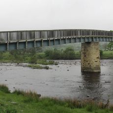
Beckstones Wath Footbridge
1.2 km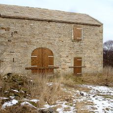
Field Barn, 700 Metres East Of Hunderthwaite Farmhouse
4 km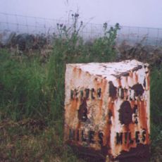
Milestone, exNR, SW of Hargill Bridge
8.7 km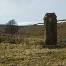
Crosshill Stone
10.2 km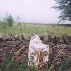
Milestone, exNR, north of Selset Resr
5.6 km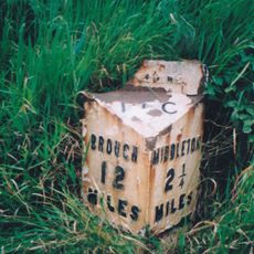
Milestone, exNR, east of Greengates
2.6 km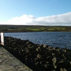
Selset Reservoir
5.8 kmReviews
Visited this place? Tap the stars to rate it and share your experience / photos with the community! Try now! You can cancel it anytime.
Discover hidden gems everywhere you go!
From secret cafés to breathtaking viewpoints, skip the crowded tourist spots and find places that match your style. Our app makes it easy with voice search, smart filtering, route optimization, and insider tips from travelers worldwide. Download now for the complete mobile experience.

A unique approach to discovering new places❞
— Le Figaro
All the places worth exploring❞
— France Info
A tailor-made excursion in just a few clicks❞
— 20 Minutes