Enable Location

We need your location to show you interesting places around you

Discover nearby places

Find interesting locations and hidden gems around you

Precise directions

Get accurate directions and distances to places

Your location is never shared with other users. It's only used when you tap the location button.

Burroughston Broch

Log in to your account

Start exploring — it's free

Trusted by 62,844 travelers worldwide

Continue with Google
Continue with Apple
or

We will send you a code to connect

By continuing, you accept our Terms and Conditions and our Privacy Policy

Check your inbox

We've sent a pincode in your inbox. Please enter the code below.

Burroughston Broch

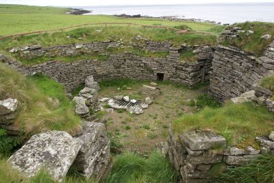
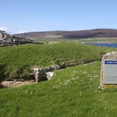
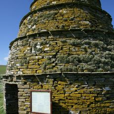
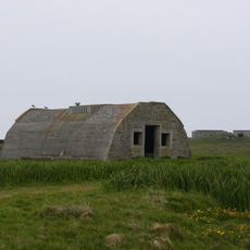
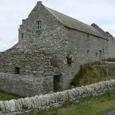
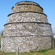
Burroughston Broch, Iron Age fortification on Shapinsay, United Kingdom.

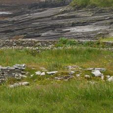
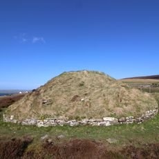
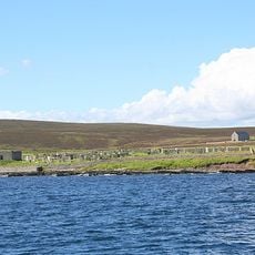
Burroughston Broch is a circular stone structure from the Iron Age located on Shapinsay in the Orkney Islands. The walls reach approximately four meters in thickness, with an external diameter of around eighteen meters and internal space of about ten meters.

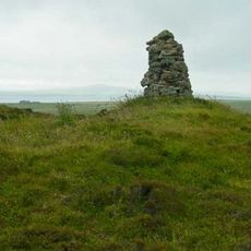
The structure was built during the Iron Age as part of a group of fortified settlements that arose on the Orkney Islands at that time. Early 19th-century excavations uncovered bone remains and stone vessels that revealed how people lived within its walls.

This broch served as a gathering place and storage center for the local community during the Iron Age. The layout suggests it held both practical and social importance for the people of Shapinsay.

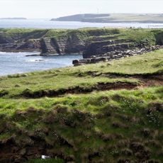
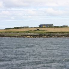
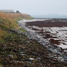
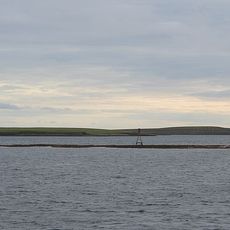
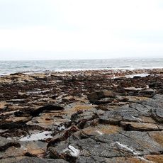
Access is via ferry from Kirkwall to Shapinsay, taking approximately twenty-five minutes, followed by a short drive to the northeastern section of the island. The site is relatively exposed and becomes easiest to visit during drier months when ground conditions are more favorable.

The interior contains a deep well built from dry stone masonry in its upper section and carved directly into bedrock below. This engineering solution demonstrates how inhabitants carefully managed their water supply.

The community of curious travelers

AroundUs brings together thousands of curated places, local tips, and hidden gems, enriched daily by 60,000 contributors worldwide.

Start exploring
Location
Location
GPS coordinates
59.07346,-2.80300
Latest update
December 14, 2025 11:21
« Burroughston Broch - Iron Age fortification on Shapinsay, United Kingdom » is provided by Around Us (aroundus.com). Images and texts are derived from Wikimedia project under a Creative Commons license. You are allowed to copy, distribute, and modify copies of this page, under the conditions set by the license, as long as this note is clearly visible.

Discover hidden gems everywhere you go!

From secret cafés to breathtaking viewpoints, skip the crowded tourist spots and find places that match your style. Our app makes it easy with voice search, smart filtering, route optimization, and insider tips from travelers worldwide. Download now for the complete mobile experience.

Around Us App Screenshot

A unique approach to discovering new places

Le Figaro

All the places worth exploring

France Info

A tailor-made excursion in just a few clicks

20 Minutes

Around Us
Travel Guide & Maps
Download

Send to your phone

QR Code
1

Open the camera app on your mobile.

2

Point at the QR code with your camera. A notification will appear.

3

Tap the notification to open the link.