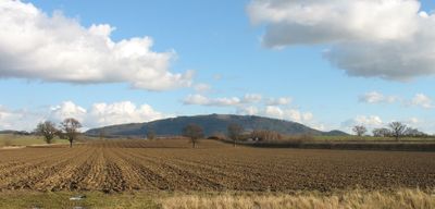
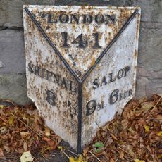
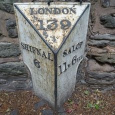
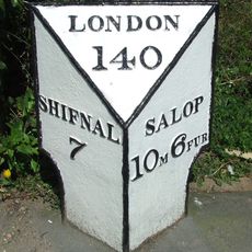
The Wrekin, Mountain and royal forest in Shropshire, England.
This mountain in Shropshire features volcanic rock formations and woodland trails that climb across its slopes at varying steepness. The landscape displays different elevations with exposed rocks that shape the walking experience.
The summit once held a fortified settlement of a Celtic tribe that was later destroyed by Roman forces. Afterward, it lost its role as a power center and became a natural landmark in the landscape.
This place holds meaning for locals as a landmark tied to regional storytelling and folklore traditions passed down through generations. People in the area often speak of it as part of their identity and heritage.
Access is available through marked hiking trails from several parking areas at the base of the mountain. The approaches are straightforward, allowing visitors to arrive and start walking without difficulty.
The rock formations here originated from ancient volcanic activity hundreds of millions of years ago. This geological history is visible in the exposed stone faces along the walking paths.
Location: Shropshire
GPS coordinates: 52.66927,-2.55145
Latest update: December 14, 2025 19:33
Telford Steam Railway
4.7 km
Buildwas Abbey
4 km
Sunnycroft
3.7 km
Bowring Park
3.4 km
Church of All Saints
4.3 km
Church of St Peter
4 km
Church of St Peter and St Paul
4.5 km
Church of the Holy Trinity
3.3 km
Christ Church
4.1 km
Church of St Lawrence
2.3 km
Church of St Mary
3.3 km
Church of St Mary
3.6 km
Church of St John
4 km
Kynnersley Arms Public House Incorporating Remains Of Mill And Furnace
3.1 km
Church of Holy Trinity
3.5 km
Admaston
4.7 km
Rosehill
4.9 km
2, Uppington
3.3 km
Gate Piers, Steps, Walls and War Memorial Lychgate
4.2 km
The Old Post Office
3.1 km
Milepost Approximately 700 Yards South South West Of Orleton Hall
2.6 km
Milepost Approximately 300 Yards East South East Of Football Ground
4.7 km
Abbey House With Attached 5 Bay Arcade, Incorporating Dovecote
4 km
Mile Post South South East Of Wrekin Hospital
3.3 km
Wrockwardine War Memorial
4 km
Milestone, Whitchurch Road, nr jcn Apley Avenue
4.8 km
The Round House Umbrella House
2.7 km
Number 1 (tudor House) And Part Of Number 2
3.3 kmVisited this place? Tap the stars to rate it and share your experience / photos with the community! Try now! You can cancel it anytime.
Discover hidden gems everywhere you go!
From secret cafés to breathtaking viewpoints, skip the crowded tourist spots and find places that match your style. Our app makes it easy with voice search, smart filtering, route optimization, and insider tips from travelers worldwide. Download now for the complete mobile experience.
A unique approach to discovering new places❞
— Le Figaro
All the places worth exploring❞
— France Info
A tailor-made excursion in just a few clicks❞
— 20 Minutes