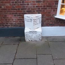
Tarporley, village and civil parish in Cheshire West and Chester, England, UK
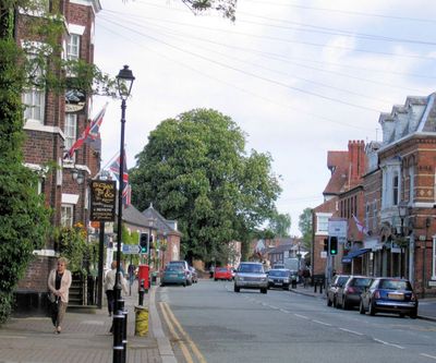
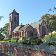
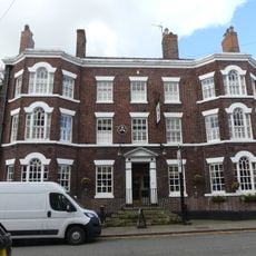
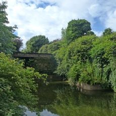
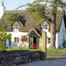
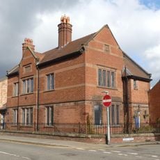
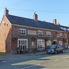
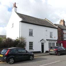
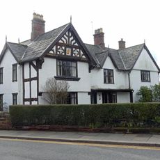
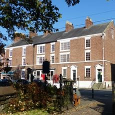
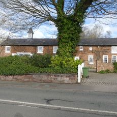
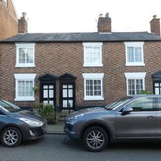
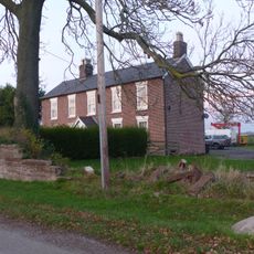
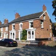
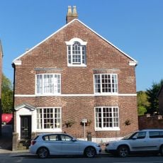
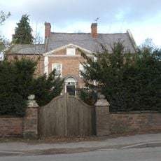
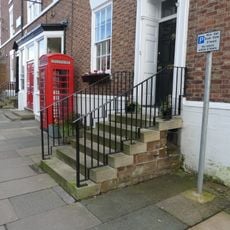
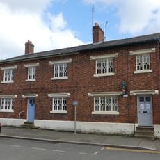
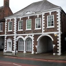
Tarporley is a small village in Cheshire, England, with a quiet main street lined with shops, pubs, and a church that has stood for hundreds of years. Buildings mix old stone cottages and brick houses with newer homes, creating a blend of architectural styles across the settlement.
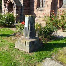
Tarporley appears in the Domesday Book of 1086 under the name Torpelei as a small farming settlement with several households and villagers working the land. Over centuries it slowly developed into a rural hub serving nearby communities while maintaining its agricultural roots and character.
The village name comes from the Domesday Book of 1086 and means "pear wood near a hill," a reference still seen in the pear tree emblem used by the local school and community. Stone cottages and traditional pubs line the streets where residents gather to share meals and maintain customs that connect past generations to village life today.
The village is straightforward to walk through with accessible paths along the main street and surrounding lanes that invite easy exploration. Public facilities including shops and pubs are located centrally, making it simple to spend a few hours browsing and taking breaks.
Archaeologists have discovered ancient tools and arrowheads in the surrounding area showing that people settled here thousands of years before recorded history. These prehistoric findings suggest the location attracted early inhabitants because of its natural advantages for farming and shelter.
The community of curious travelers
AroundUs brings together thousands of curated places, local tips, and hidden gems, enriched daily by 60,000 contributors worldwide.