Chest opened
+${chestReward.xp} XP
Explorer
NOUVEAU ×${chestReward.collectible.quantity}
tapez pour fermer
Chest locked

Open chests in the app

Around Us is built for your phone — chests unlock when you walk, explore and capture nearby places.

Enable Location

We need your location to show you interesting places around you

Discover nearby places

Find interesting locations and hidden gems around you

Precise directions

Get accurate directions and distances to places

Your location is never shared with other users. It's only used when you tap the location button.

Hindhead

Log in to your account

Start exploring — it's free

Trusted by 72,890 travelers worldwide

Continue with Google
Continue with Apple
or

We will send you a code to connect

By continuing, you accept our Terms and Conditions and our Privacy Policy

Check your inbox

We've sent a pincode in your inbox. Please enter the code below.

Hindhead
Discussion Reviews 1 Photos
15.9k Popularity

Hindhead, village in the English county of Surrey

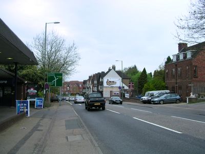
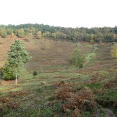
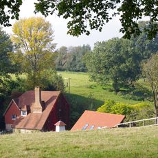
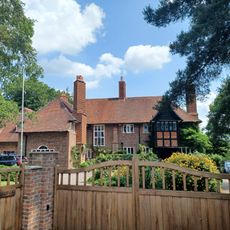
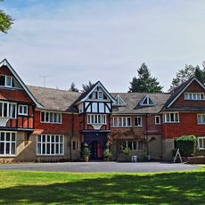
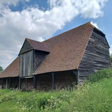
Hindhead is a small village in Surrey on the border with Hampshire, sitting at around 650 to 870 feet (200 to 265 meters) elevation, making it the highest village in the county. The landscape features wooded roads, rolling hills, and open heathland with ferns, gorse, and heather dotting the terrain.

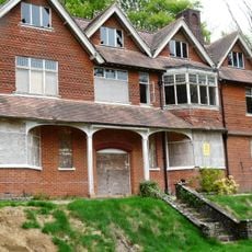
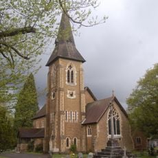
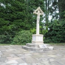
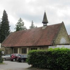
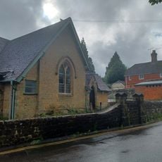
In the 1700s, Hindhead gained notoriety as a hideout for highwaymen who robbed travelers, with some executed and displayed on Gibbet Hill. The village expanded in the late 1800s as a proper settlement, and St. Alban's Church was built between 1904 and 1907 to serve the growing community.

The name Hindhead comes from 'hind,' an old word for female deer, reflecting the area's long connection to local wildlife. Visitors often spot deer roaming in nearby woods, creating a living link to the village's past identity.

The nearest railway station is at Haslemere, about 2 miles (3 kilometers) away, with buses connecting to nearby villages and towns. A tunnel passing underneath the village has transformed the old main roads into green spaces and walking paths, making it easy to explore the area on foot.

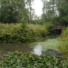
The nearby Devil's Punch Bowl is a natural amphitheater carved into the landscape with steep sides and a wide open center, formed over thousands of years through natural processes and now maintained by the National Trust. This distinctive landform was featured on a television program about natural wonders in 2005 and has since become a favorite spot for hikers and nature enthusiasts.

The community of curious travelers

AroundUs brings together thousands of curated places, local tips, and hidden gems, enriched daily by 60,000 contributors worldwide.

Start exploring
Location
Shares border with
Thursley
GPS coordinates
51.11720,-0.73480
Latest update
February 19, 2026 23:20
Around this place
Show the full map
Reviews
Share your experience

No review yet

Discussions
Start a discussion...

No discussion yet

« Hindhead - village in the English county of Surrey » is provided by Around Us (aroundus.com). Images and texts are derived from Wikimedia project under a Creative Commons license. You are allowed to copy, distribute, and modify copies of this page, under the conditions set by the license, as long as this note is clearly visible.

Discover hidden gems everywhere you go!

From secret cafés to breathtaking viewpoints, skip the crowded tourist spots and find places that match your style. Our app makes it easy with voice search, smart filtering, route optimization, and insider tips from travelers worldwide. Download now for the complete mobile experience.

Around Us App Screenshot

A unique approach to discovering new places

Le Figaro

All the places worth exploring

France Info

A tailor-made excursion in just a few clicks

20 Minutes

Around Us
Travel Guide & Maps
Download

Send to your phone

QR Code
1

Open the camera app on your mobile.

2

Point at the QR code with your camera. A notification will appear.

3

Tap the notification to open the link.