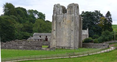
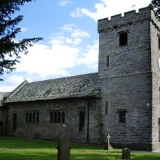
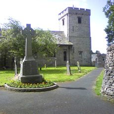
Shap Abbey, Premonstratensian abbey ruins in Shap Rural, England
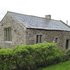
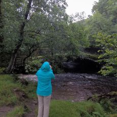
Shap Abbey is a ruined monastery in Shap Rural featuring a 15th-century tower and scattered foundation walls running beside the River Lowther. These remnants allow visitors to trace the layout and scale of what was once a substantial religious complex in the Cumbrian countryside.
The monastery was established in 1199 as England's final abbey of its kind and operated for over 340 years before closure in 1540 during Henry VIII's dissolution of religious houses. The suppression ended centuries of continuous occupation and worship at the site.
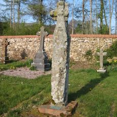
The site once served as a hub for monastic life where communities maintained strict daily routines of prayer and labor. The ruins today echo this rhythm of religious devotion that shaped the local landscape for centuries.
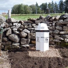
Visitors reach the site by walking a steep path through grazing pasture with parking available nearby. Good footwear is advisable as the ground can be uneven and the terrain changes with weather and livestock movement.
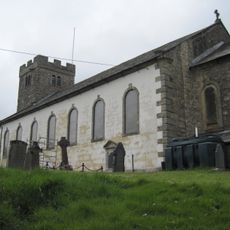
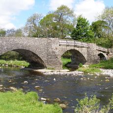
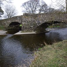
After its closure, stone from the original structures was repurposed to build Shap Market Hall and elements of Lowther Castle in the surrounding area. This means fragments of the medieval monastery live on within later local buildings.
Location: Shap Rural
Inception: 12 century
Website: https://english-heritage.org.uk/visit/places/shap-abbey
GPS coordinates: 54.52870,-2.69889
Latest update: December 11, 2025 11:03
Sleddale Hall
3.8 km
Shap Stone Avenue
2.6 km
Seat Robert
4.3 km
Wet Sleddale Horseshoe
3.7 km
Church of St Michael
1.5 km
Church of St Patrick
4 km
Mary's Pillar
2.7 km
Cross In Bampton Grange Cemetery
4.1 km
Keld Chapel
732 m
Bridge over River Lowther
2.1 km
Halfa Bridge
4 km
Milepost (325 Yards North Of Turn To Sleddale)
2.6 km
Naddle Old Bridge (Immediately To East Of Present Bridge)
4 km
Greyhound Hotel With Milestone And Mounting Block
2 km
Parish Crag Bridge Over Swindale Beck
1.6 km
Shap War Memorial
1.6 km
Shap Library Link
1.4 km
Milepost 350 Yards South Of Turn To Sleagill
1.7 km
Milepost On Roadside To East Of Croft House
1.6 km
Green House With Pavilions
1.6 km
Cross Cottage Cross Farmhouse With Adjoining Barn/Byre Range
1.4 km
Oddendale concentric stone circle
4.8 km
Market Hall
1.4 km
Hardendale Hall With Adjoinng Byres And Scullery
3.5 km
Milestone, Main Street, Greyhound Hotel, Shap
2.1 km
Milestone, Main Street, next to Fell House, E of Croft House
1.6 km
Milepost, Shap Beck Quarry
2.9 km
Wet Sleddale Reservoir
3.6 kmVisited this place? Tap the stars to rate it and share your experience / photos with the community! Try now! You can cancel it anytime.
Discover hidden gems everywhere you go!
From secret cafés to breathtaking viewpoints, skip the crowded tourist spots and find places that match your style. Our app makes it easy with voice search, smart filtering, route optimization, and insider tips from travelers worldwide. Download now for the complete mobile experience.
A unique approach to discovering new places❞
— Le Figaro
All the places worth exploring❞
— France Info
A tailor-made excursion in just a few clicks❞
— 20 Minutes