
Bold, civil parish in Merseyside, UK
Location: St Helens
Shares border with: Great Sankey
GPS coordinates: 53.42392,-2.69339
Latest update: March 30, 2025 21:28
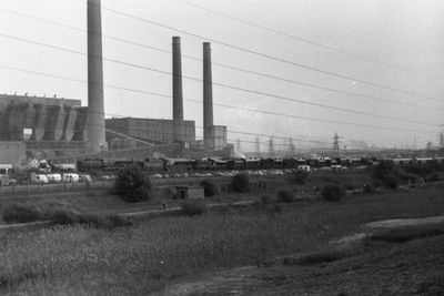
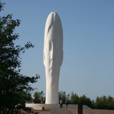
Dream
2.5 km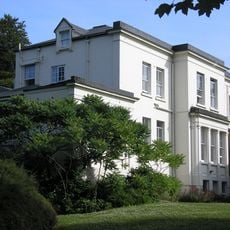
Loyola Hall
4.2 km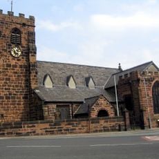
St Luke's Church, Farnworth
4.9 km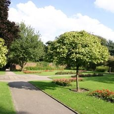
Sherdley Park
2.8 km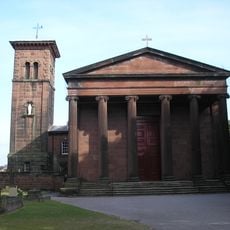
St Bartholomew's Church, Rainhill
4.2 km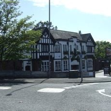
The Wheatsheaf, St Helens
1.3 km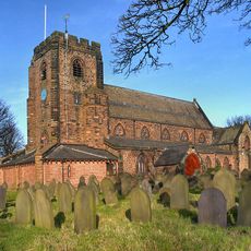
St Nicholas' Church, St Helens
1.9 km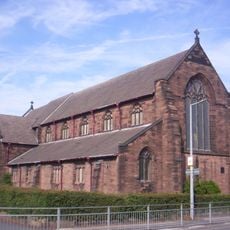
All Saints' Church, St Helens
1.6 km
Sherdley Park Golf Course
3.1 km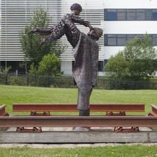
The Workers' Memorial
3.8 km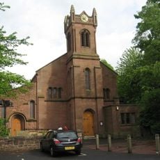
St Ann's Church
4.8 km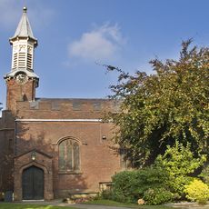
Church of St Mary
4.7 km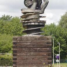
Anderton Monument, St Helens
3.7 km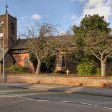
Church of St Michael and All Angels, Burtonwood
2.6 km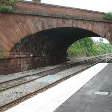
Skew Bridge
5 km
Former Church of St Pius X and attached campanile
5.4 km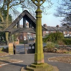
Men of Rainhill War Memorial Cross
4.7 km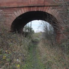
Bold Bridge
3.2 km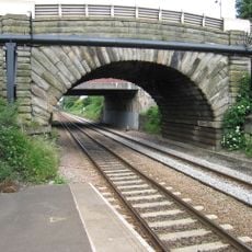
Bridge Over Railway
2.1 km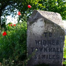
Milestone
5 km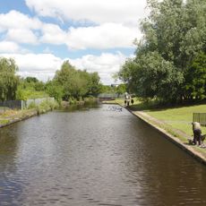
Vera Page Park
3.8 km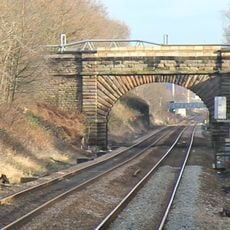
New Street bridge
1.8 km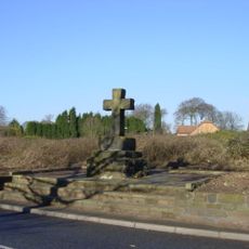
Cross
4.9 km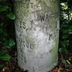
Milestone
3.6 km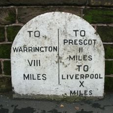
Milestone On Skew Bridge
5 km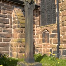
Standing cross in St Luke's churchyard, Farnworth, beside the south porch
5 km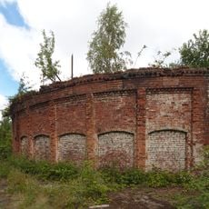
Cannington Shaw Bottle Shop
3.6 km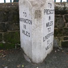
Milestone, Warrington Road; 50m W jcn School Lane
4.3 kmReviews
Visited this place? Tap the stars to rate it and share your experience / photos with the community! Try now! You can cancel it anytime.
Discover hidden gems everywhere you go!
From secret cafés to breathtaking viewpoints, skip the crowded tourist spots and find places that match your style. Our app makes it easy with voice search, smart filtering, route optimization, and insider tips from travelers worldwide. Download now for the complete mobile experience.

A unique approach to discovering new places❞
— Le Figaro
All the places worth exploring❞
— France Info
A tailor-made excursion in just a few clicks❞
— 20 Minutes