Ermin Street, Roman road in southern Britain
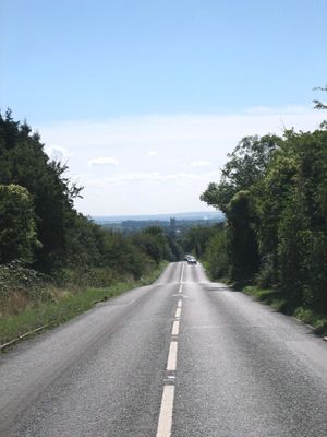
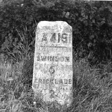
Ermin Street is a Roman road that runs from Gloucester through Cirencester to Silchester, following a direct route across the British landscape. It was built on thick foundations that still support sections of modern highways like the A417 and A419 today.
This road was built after 43 CE during the Roman occupation of Britain to connect military bases and settlements. It formed part of a strategic network that helped Roman forces control the southern regions.
The road network facilitated the movement of goods, ideas, and people between Roman settlements, contributing to the romanization of Britain.
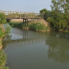
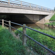
The old road is still visible in places today, especially where it runs beneath modern highways or across the landscape. Walkers can explore sections on foot, while drivers can follow its path along modern routes.
At Corinium, this road meets the Fosse Way, creating one of the most important crossroads in Roman Britain's transportation network. This central point allowed traders, soldiers, and travelers from different directions to meet and exchange goods.
The community of curious travelers
AroundUs brings together thousands of curated places, local tips, and hidden gems, enriched daily by 60,000 contributors worldwide.