Creag Meagaidh, Mountain summit in Scottish Highlands, Great Britain
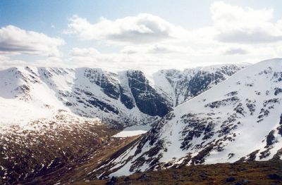
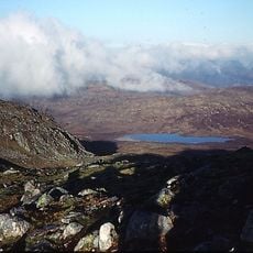
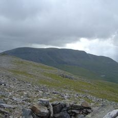
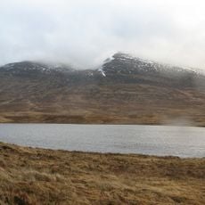
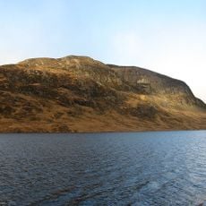
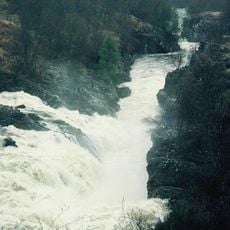
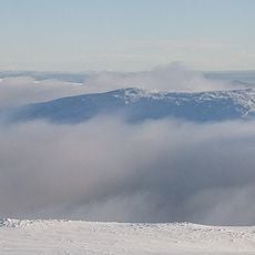
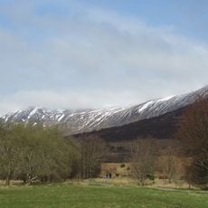
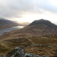
Creag Meagaidh is a mountain in the Scottish Highlands that rises to 1,130 meters (3,707 feet), with a broad, flat summit plateau and deep hollows called corries carved into its flanks. Five ridges extend outward from the top, dividing the terrain into distinct sections separated by steep cliff walls.
Thomas Thornton made the first recorded climb to the top in 1786, placing this mountain among the earliest documented ascents in the Highlands. The land was later designated a National Nature Reserve, a move that changed how the area is managed and allowed native woodland to gradually return.
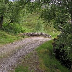
was auf die feuchten Plateauflächen hinweist, die Wanderer dort oben vorfinden. Die weiten, offenen Hochflächen werden heute von Besuchern genutzt, die auf gut erkennbaren Pfaden durch eine sehr ursprüngliche Berglandschaft gehen.
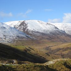
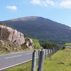
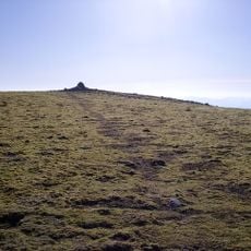
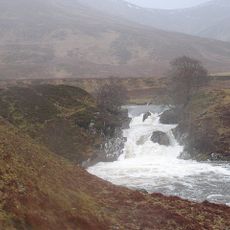
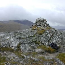
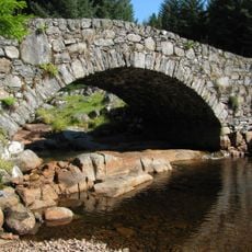
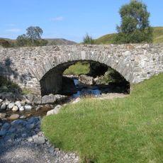
The most common starting points are at Aberarder and Moy, and a large stone cairn marks the top to help with orientation on the flat plateau. A winter visit calls for alpine experience and proper equipment, as the open plateau can become hard to navigate when snow and wind set in.
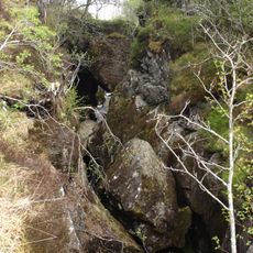
The corrie walls shelter moss heath communities that count among the rarest plant groups in this part of Scotland, having survived centuries of heavy grazing by sheep and deer. Their continued presence was one of the main reasons the area received its protected status.
The community of curious travelers
AroundUs brings together thousands of curated places, local tips, and hidden gems, enriched daily by 60,000 contributors worldwide.