Meriden, Parliamentary constituency in the United Kingdom, 1955 onwards
Location: West Midlands
Inception: May 26, 1955
Shares border with: Solihull, Bromsgrove, Stratford-on-Avon, Kenilworth and Southam, Coventry South, Coventry North West, North Warwickshire, Sutton Coldfield, Birmingham Erdington, Birmingham Hodge Hill, Birmingham Yardley
GPS coordinates: 52.40000,-1.71000
Latest update: March 11, 2025 10:02
St. Alphege's Church
4.6 km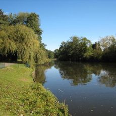
Malvern & Brueton Park
4 km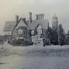
New Berry Hall
3.4 km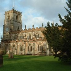
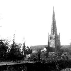
Knowle Parish Church
2.1 km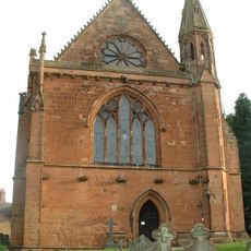
St Mary's Church, Temple Balsall
2.2 km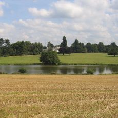
Berkswell Hall
4.5 km
Balsall Preceptory
2.3 km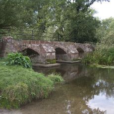
Hampton in Arden packhorse bridge
2.6 km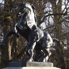
Horse and Tamer
4.3 km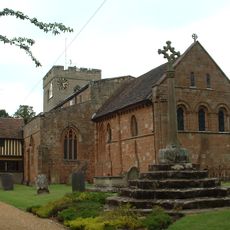
Church of Saint John the Baptist, Berkswell
4.7 km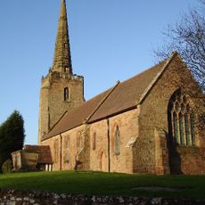
Church of Saint Peter
4.5 km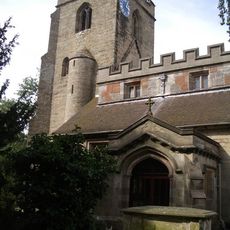
Church of Saint Mary and Saint Bartholomew
2.8 km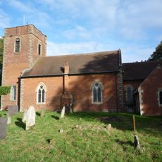
Church of Saint Swithin, Barston
915 m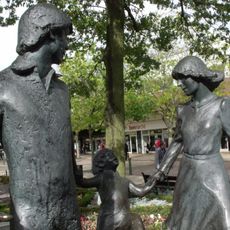
Family Outing statue
4.7 km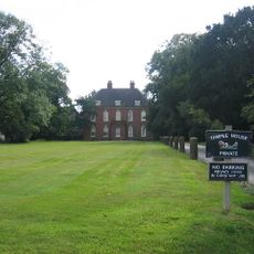
Temple House
2.3 km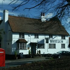
White Lion Public House
2.8 km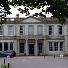
Malvern Hall
4 km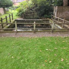
Berks Well
4.7 km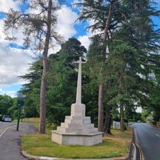
Hampton in Arden War Memorial
3.2 km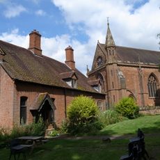
Templars Hall
2.2 km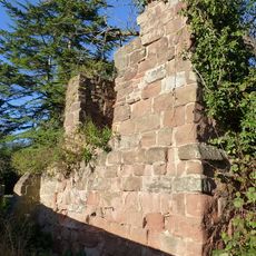
The Ruin, Solihull
4.6 km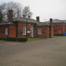
Old Station Bungalow
3.6 km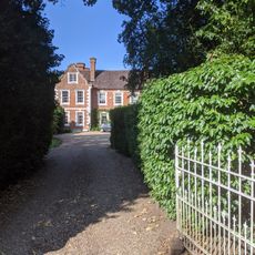
Well House
4.7 km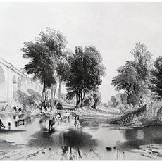
Blythe Viaduct
2.6 km
North East Range At The Lady Katherine Leveson Hospital, South West Range At The Lady Katherine Leveson Hospital
2.2 km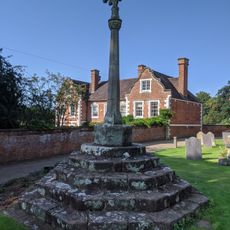
Churchyard cross in St John the Baptist's churchyard
4.7 km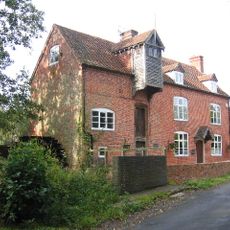
Henwood Mill
2.1 km
George Fentham School
3 kmVisited this place? Tap the stars to rate it and share your experience / photos with the community! Try now! You can cancel it anytime.
Discover hidden gems everywhere you go!
From secret cafés to breathtaking viewpoints, skip the crowded tourist spots and find places that match your style. Our app makes it easy with voice search, smart filtering, route optimization, and insider tips from travelers worldwide. Download now for the complete mobile experience.

A unique approach to discovering new places❞
— Le Figaro
All the places worth exploring❞
— France Info
A tailor-made excursion in just a few clicks❞
— 20 Minutes