
Bletchingley, village and civil parish in Surrey, United Kingdom
Location: Tandridge
Shares border with: Chaldon
Website: http://bletchingley.org.uk
GPS coordinates: 51.24060,-0.09920
Latest update: March 2, 2025 23:39
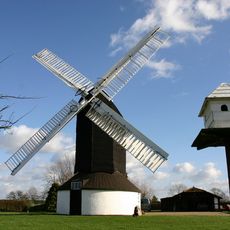
Outwood Windmill
5.2 km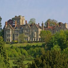
Nutfield Priory
3 km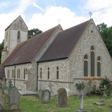
Church of St John the Baptist, Outwood
4.8 km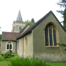
Church of St Peter and St Paul
1.9 km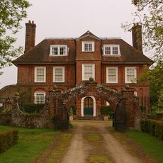
Pendell House
1.7 km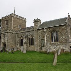
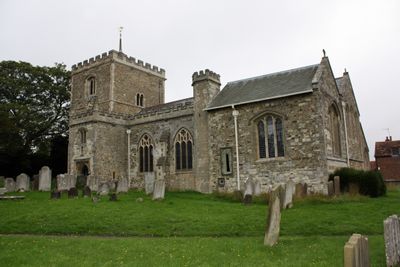
Church of St Mary the Virgin
91 m
Church of St Nicholas
3 km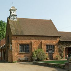
Chapel Of St Mark
2.4 km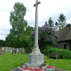
Godstone War Memorial
3 km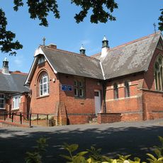
St Stephen
4.2 km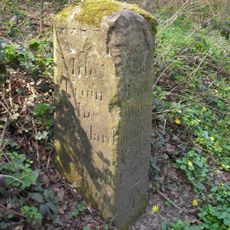
Milestone, Eastbourne Road, jct with Church Lane
3 km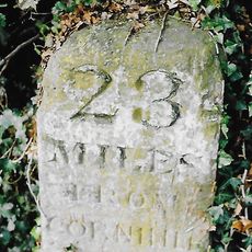
Milestone, Eastbourne Road, quarter mile S of Railway Bridge
4.4 km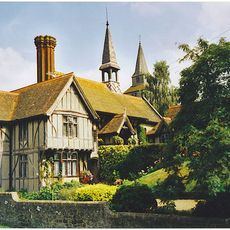
St Mary's Alms Houses And Chapel Of St Mary
3 km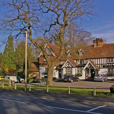
The Queens Head Public House
2 km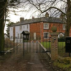
Hamme House
3.6 km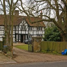
Kings Mill House
3.3 km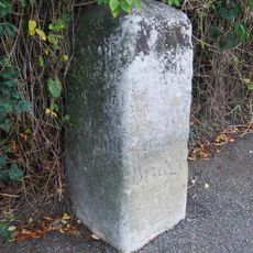
Milestone
2.6 km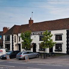
The White Hart Inn Including Former Stable To Rear
39 m
The Manor House
1.5 km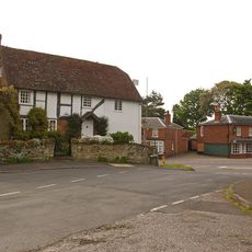
The Manse
385 m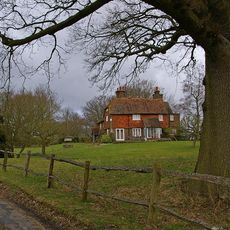
Staplehurst Farm House
4.2 km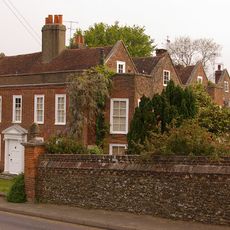
Walls To The Manor House
1.5 km
Halfway House
1.5 km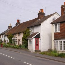
40-44, High Street
2 km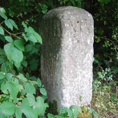
Milestone, top of Godstone Hill
3.5 km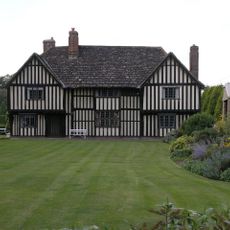
Brewer Street Farm House
1.2 km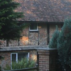
Brick Kiln
927 m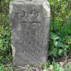
Milestone, Eastbourne Road, jct with Hart Lane
3.8 kmVisited this place? Tap the stars to rate it and share your experience / photos with the community! Try now! You can cancel it anytime.
Discover hidden gems everywhere you go!
From secret cafés to breathtaking viewpoints, skip the crowded tourist spots and find places that match your style. Our app makes it easy with voice search, smart filtering, route optimization, and insider tips from travelers worldwide. Download now for the complete mobile experience.

A unique approach to discovering new places❞
— Le Figaro
All the places worth exploring❞
— France Info
A tailor-made excursion in just a few clicks❞
— 20 Minutes