
Rowsley, village and civil parish in Derbyshire Dales district, Derbyshire, England
Location: Derbyshire Dales
Shares border with: Edensor, Nether Haddon, Stanton, Northwood and Tinkersley, Darley Dale, Beeley
GPS coordinates: 53.19000,-1.61400
Latest update: May 6, 2025 07:38
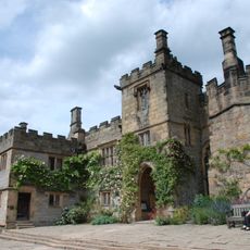
Haddon Hall
2.4 km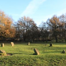
Nine Ladies
2.6 km
Stancliffe Hall
2.2 km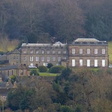
Stanton Hall
2.5 km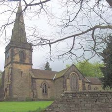
Holy Trinity Church, Stanton-in-Peak
2.4 km
Church of St Katherine
420 m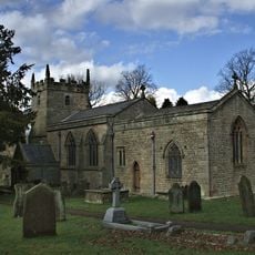
Church of St Anne
1.8 km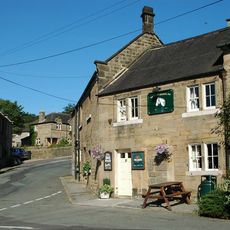
The Flying Childers Inn
2.5 km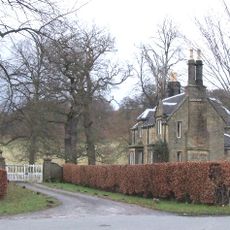
Beeley Lodge At South End Of Chatsworth Park
2.5 km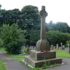
Rowsley War Memorial
426 m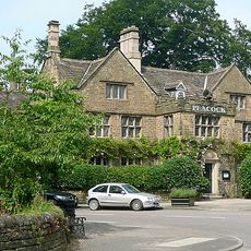
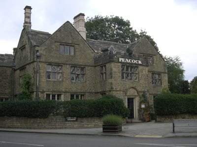
The Peacock Hotel
299 m
Bowling Green Farmhouse and attached garden walls and steps
2.3 km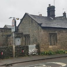
Toll Cottage
417 m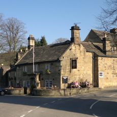
Devonshire Arms
1.6 km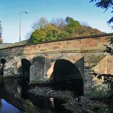
Rowsley Bridge
220 m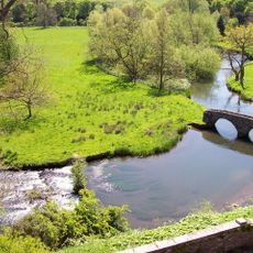
Dorothy Vernon's Bridge over River Wye
2.4 km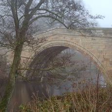
One Arch Bridge
2.5 km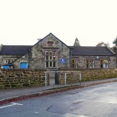
Village school, attached wall and lavatories
259 m
Calton Lees House
2.2 km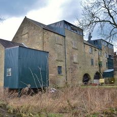
Caudwells Mill
374 m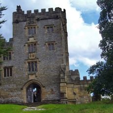
Stableblock And Tea Room To Haddon Hall
2.5 km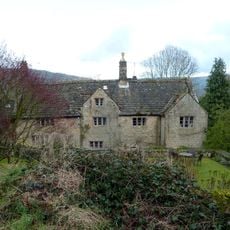
Stanton Old Hall
1.3 km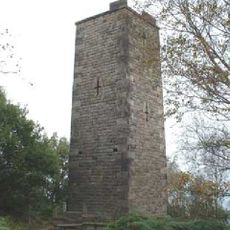
Reform Tower
2.7 km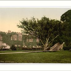
Garden Terraces And Steps To South East Of Haddon Hall
2.4 km
Bridge House
2.5 km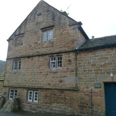
Norman House Attached Cottage And Barn
1.8 km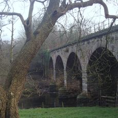
Railway viaduct, embankment and overbridge to the east of Church Farm
297 m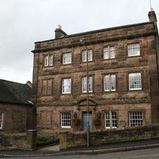
Holly House
2.4 kmVisited this place? Tap the stars to rate it and share your experience / photos with the community! Try now! You can cancel it anytime.
Discover hidden gems everywhere you go!
From secret cafés to breathtaking viewpoints, skip the crowded tourist spots and find places that match your style. Our app makes it easy with voice search, smart filtering, route optimization, and insider tips from travelers worldwide. Download now for the complete mobile experience.

A unique approach to discovering new places❞
— Le Figaro
All the places worth exploring❞
— France Info
A tailor-made excursion in just a few clicks❞
— 20 Minutes