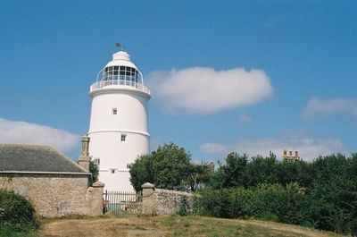
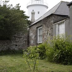
St Agnes Lighthouse, 17th-century lighthouse on St Agnes, Isles of Scilly, England.
St Agnes Lighthouse is a round stone tower on the island of St Agnes in the Scilly Isles that rises about 74 feet (23 meters) above ground and features gun ports and casement windows. An upper level with a cupola was added later to improve visibility of the light signal.
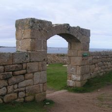
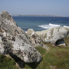
Trinity House built this lighthouse in 1680 after receiving permission to establish navigation aids, because sea charts of the time had these islands marked in the wrong location. The tower was a response to the danger of shipwrecks along this notoriously treacherous coast.
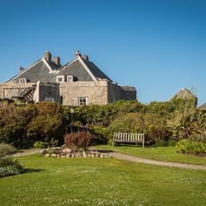
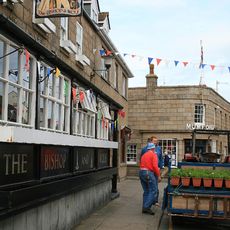
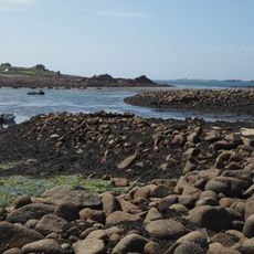
The lighthouse stands as a reminder of how people once tried to make these dangerous waters safer for ships. Today it shows how important this remote island group was for maritime trade in the Atlantic.
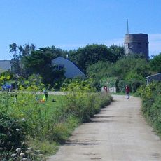
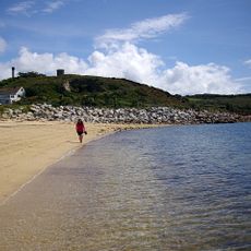
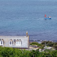
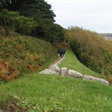
The lighthouse sits on a remote island and requires a boat journey from the main island to reach it. Access inside is limited, but you can walk around the exterior from different angles and enjoy views of the surrounding sea and nearby islands.
The tower has four gun ports on its first level, an unusual feature among British lighthouses. These defensive elements show the location was historically meant to protect against pirates and enemy vessels.
Location: St. Agnes
Location: Isles of Scilly
Inception: 1680
Official opening: October 30, 1680
GPS coordinates: 49.89250,-6.34543
Latest update: December 14, 2025 14:40
Star Castle
3.1 km
St Agnes' Church
320 m
Wingletang Down
593 m
Garrison Tower
2.8 km
Obadiah's Barrow
834 m
Bible Christian Chapel, St Agnes
232 m
Old Man of Gugh
1.1 km
Former Wesleyan Methodist Chapel
3.2 km
Star Castle
3.1 km
Late 19th-early 20th century Woolpack Battery on The Garrison, St Mary's
2.6 km
The Atlantic Hotel
3.3 km
Post Office
3.2 km
Porthcressa Beach
3.1 km
The Bishop And Wolf Public House
3.2 km
K6 Telephone Kiosk
91 m
St Agnes WWI Memorial Cross, Isles of Scilly
283 m
Newman House
3.2 km
Post-medieval breastwork, curtain wall and associated defensive structures on the periphery of The Garrison, St Mary's
2.7 km
Two early post-medieval quays in north and north western Periglis, St Agnes
523 m
Prehistoric linear boundary on Dropnose Point, Gugh
1.3 km
Building To South East Of The Lighthouse
29 m
Outbuilding At Sv 8831 0819
292 m
St Warna's Well, St Agnes
414 m
Prehistoric cairns, entrance graves, field system and settlements and post-medieval kelp pits on Kittern Hill, Gugh
911 m
Woolpack Battery
2.5 km
The Old Man prehistoric standing stone, Gugh
1.1 km
Nineteenth century gig-shed north east of Porth Askin
798 m
Prehistoric field system, settlement and cairn east of Barnaby Lane, St Agnes
451 mVisited this place? Tap the stars to rate it and share your experience / photos with the community! Try now! You can cancel it anytime.
Discover hidden gems everywhere you go!
From secret cafés to breathtaking viewpoints, skip the crowded tourist spots and find places that match your style. Our app makes it easy with voice search, smart filtering, route optimization, and insider tips from travelers worldwide. Download now for the complete mobile experience.
A unique approach to discovering new places❞
— Le Figaro
All the places worth exploring❞
— France Info
A tailor-made excursion in just a few clicks❞
— 20 Minutes